We chose a week at the end of March for our second bout of Cornish walking. As in January we were blessed with wonderful weather, a week of pleasant days that were fairly warm with almost no rain. As we left Cornwall at the end of the week temperatures plunged, hail bounced off the road and Dartmoor had a covering of snow. So we were lucky. It was also good to be in Cornwall as the nation’s prolonged bout of arm wrestling with itself continued. The calm of Cornwall felt sane and reassuring.
Wendy had found a bungalow to rent in Threemilestone on the edge of Truro. It was not the most fashionable bit of Truro but was a comfortable base for us. Our group this time was Dugald and Wendy, Richard and Martin and Milo. Wendy was going to deliver and pick us up throughout the walk, a task she was thrilled to undertake.
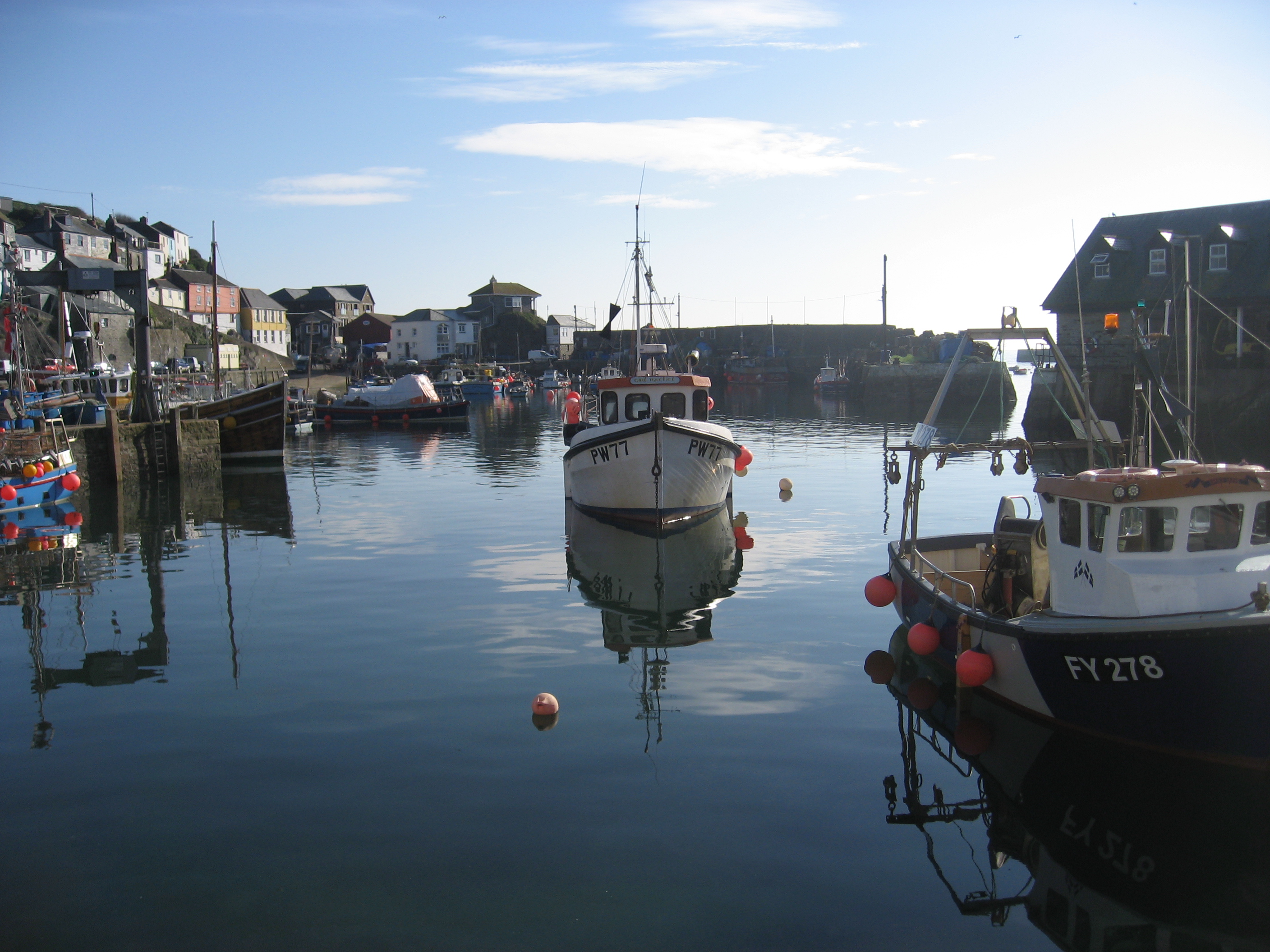
Our first day was Mevagissey to Portloe, 12.3 miles with some steep sections advertised. Wendy released us at the start on a bright warm day with Milo in tow. He was full of enthusiasm, raring to go.

The harbour looked glorious in the morning light. Although the season was getting closer there were not many people around.
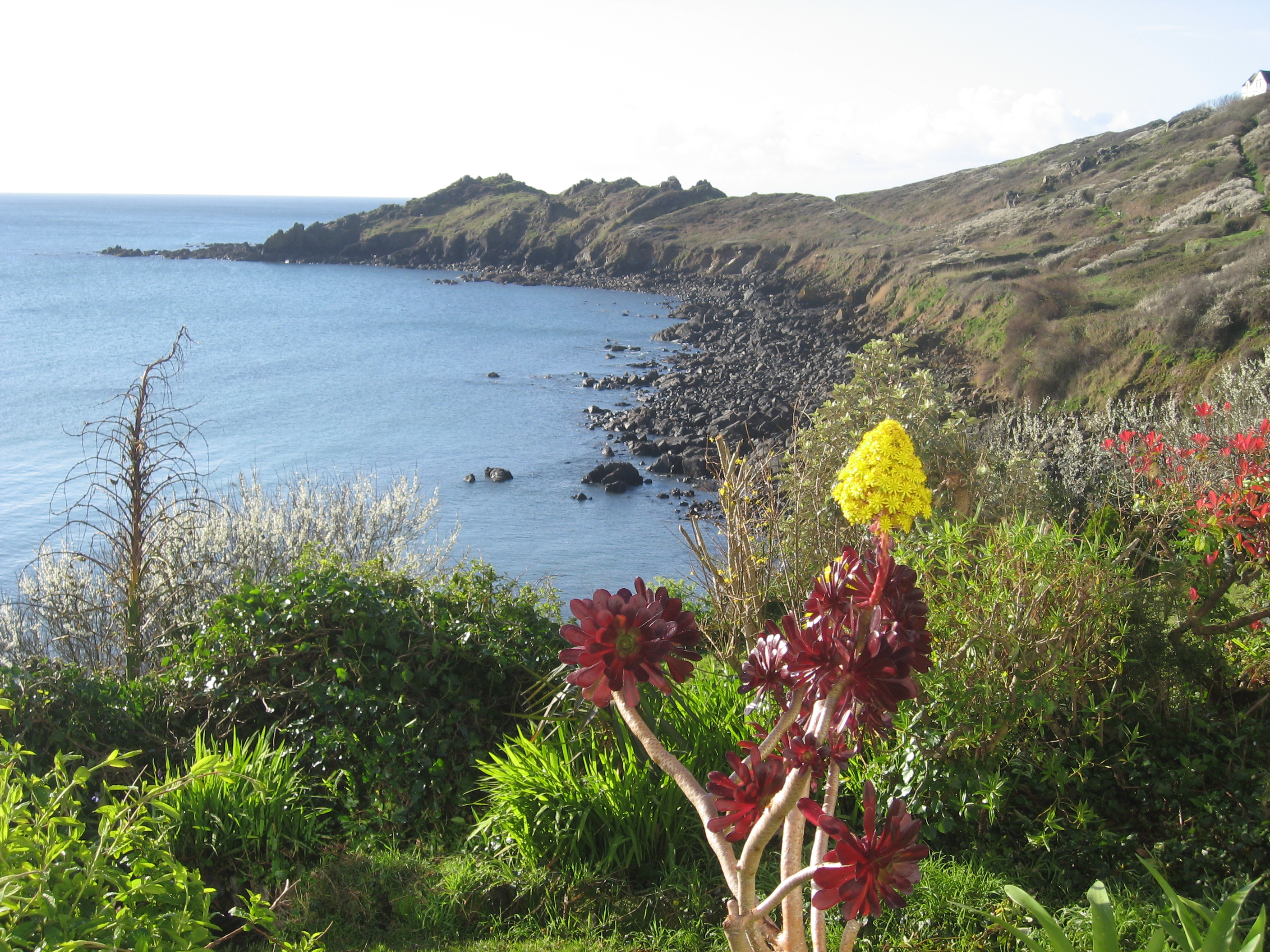
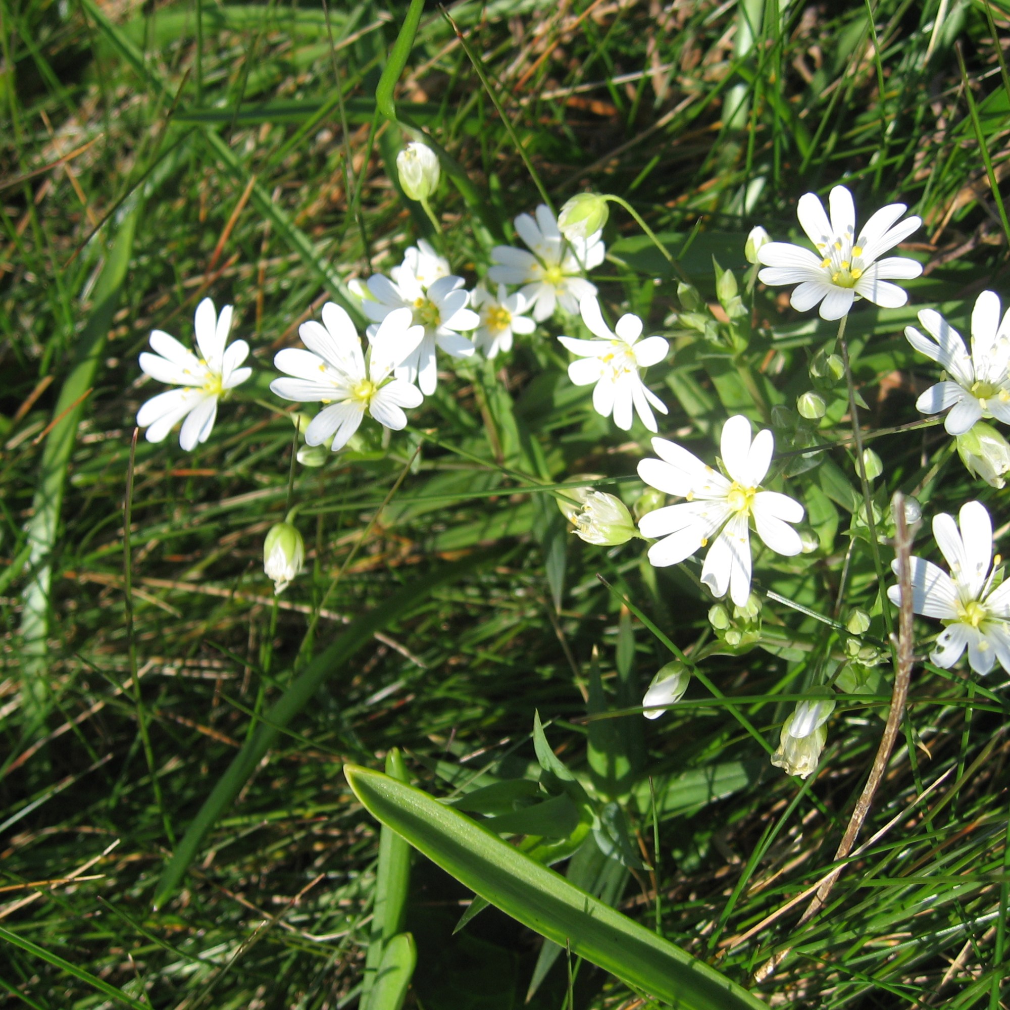
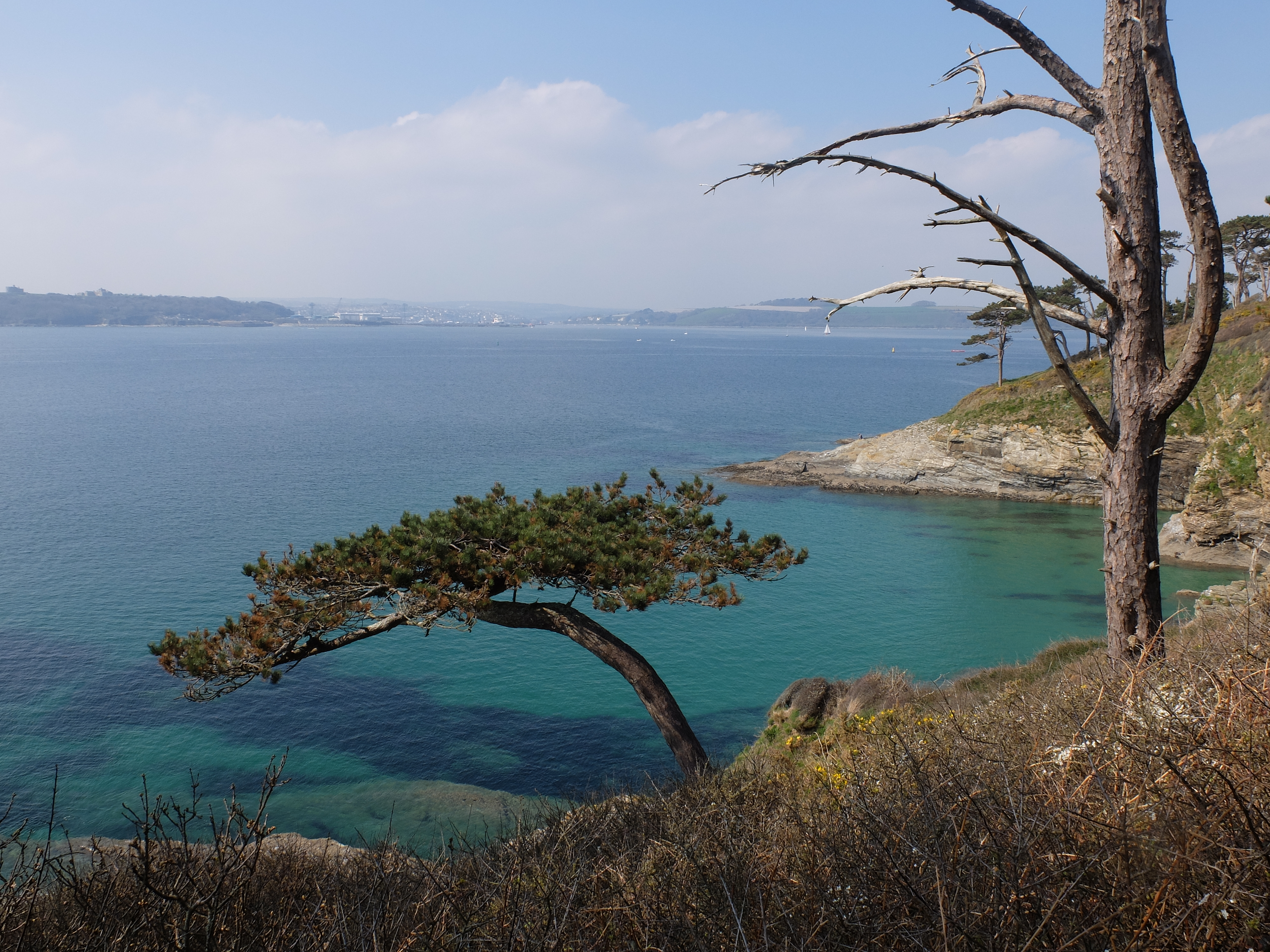
Spring was arriving in South Cornwall well ahead of the rest of the country and the week was decorated with fresh bright colours. The blossom of the blackthorn mixed with the gorse flowers in wide carpets on the cliff.


Martin was so enthused by the season that he became nostalgic about TV voice intros from the past, classics like “It’s late spring on a Devon river and….”. He’s such a romantic. Back on the path we left the town and passed an attractive group of houses on Chapel Point.
Milo dived into the sea at Tregona Beach. He was doing at least three times the distance of the rest of us. We got to Gorran Haven for coffee on the beach. Off the beach a sea nymph in a wetsuit was slowly swimming across the bay. It was a relaxing scene but Martin was already agitating for the north coast as wilder and more interesting. We explained that the walk was linear and we would get there in due course.
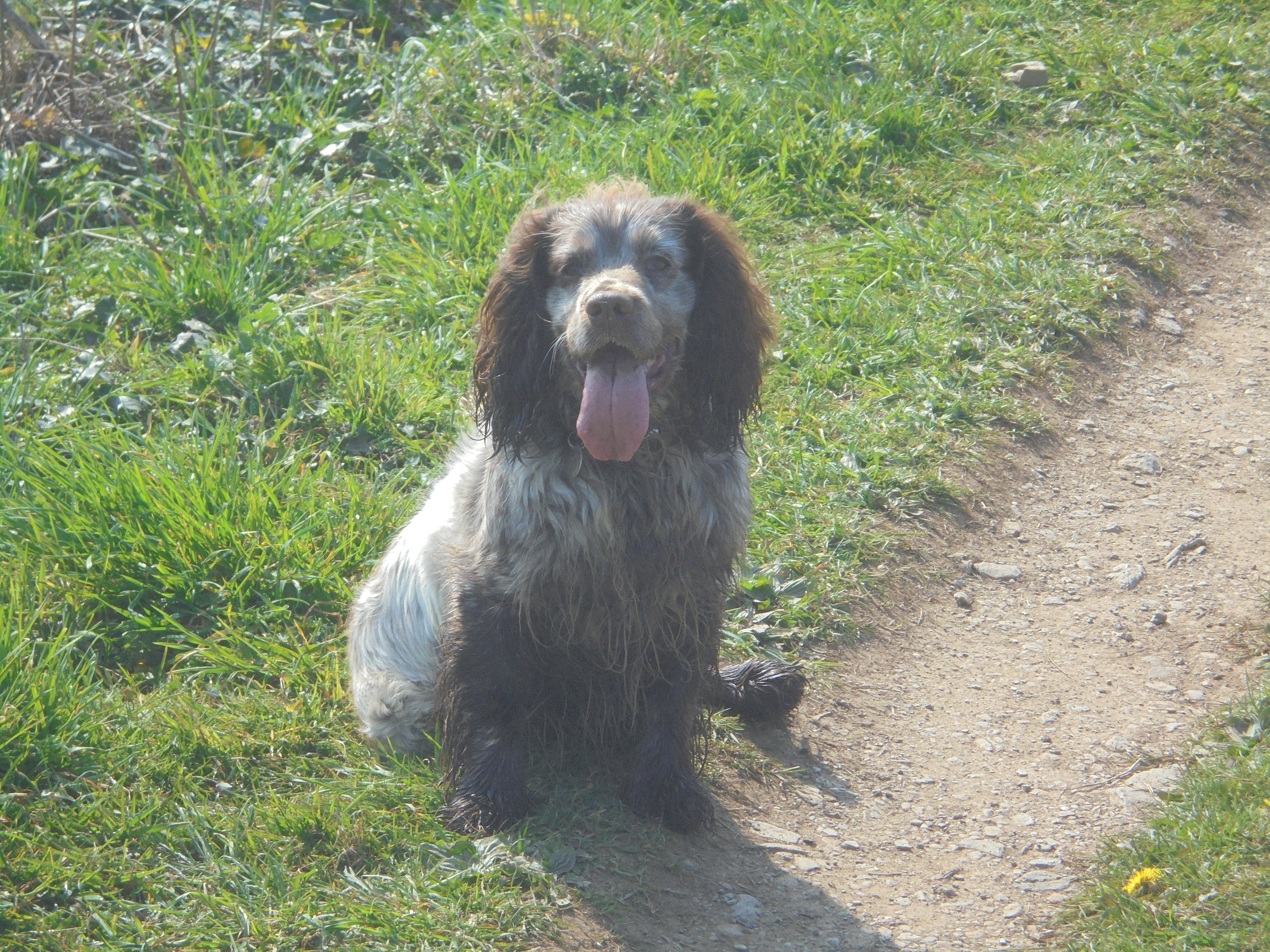
On our way to Dodman Point Milo took an impromptu bath. He’s a working cocker spaniel who loves water.

Not long after we were at Dodman feeling pleased with our progress.

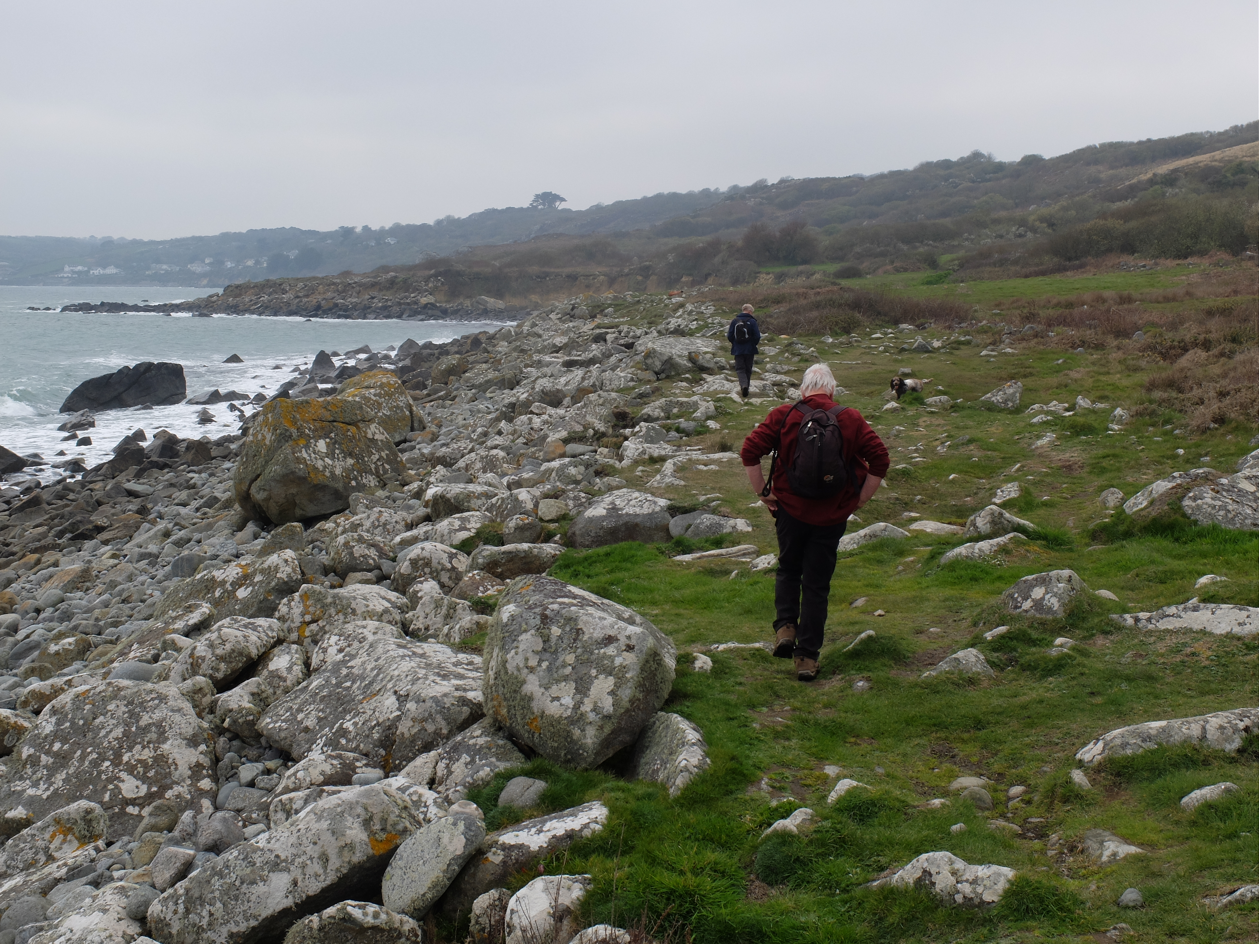
We stood cheerfully by Dodman Cross on the point. The vicar of St Michael Carhays had it built as a navigation aid in 1896 after two naval ships hit the rocks that year. The guide described the ground round Dodman as having “some very steep sections” so we felt we were through the worst when we got to Hemmick Beach for lunch. Here some brave locals were swimming without wetsuits. As we sat there a woman came past and remarked that the next bit of the walk was “interesting”, adding that there were barely two consecutive yards that were level. What a Cassandra!
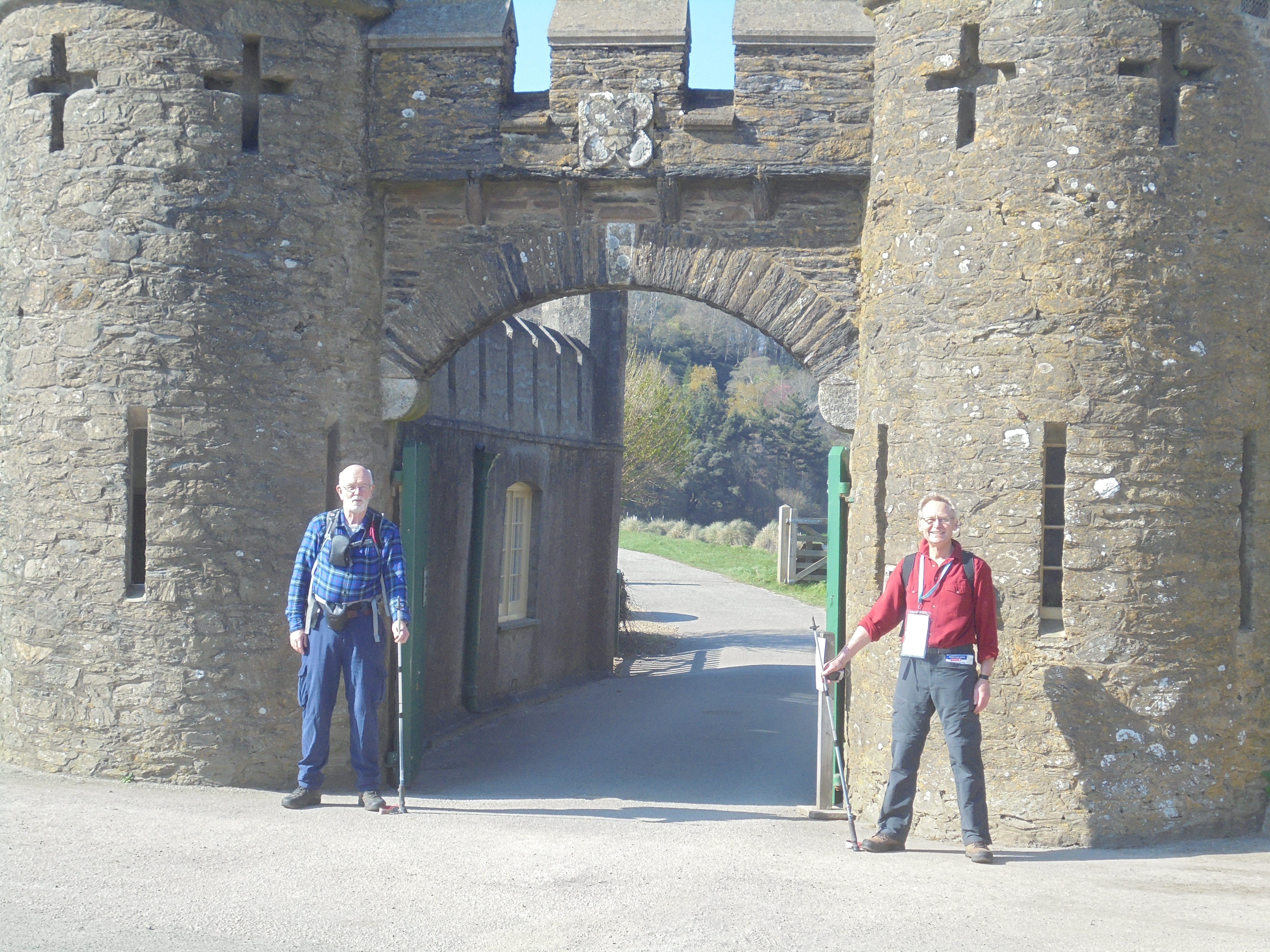
It did not take us long to discover that Cassandra was right. Past Clitter’s Rock we had an easy section down to Caerhays Castle. Time for a little teenage humour at the gates and then onwards.
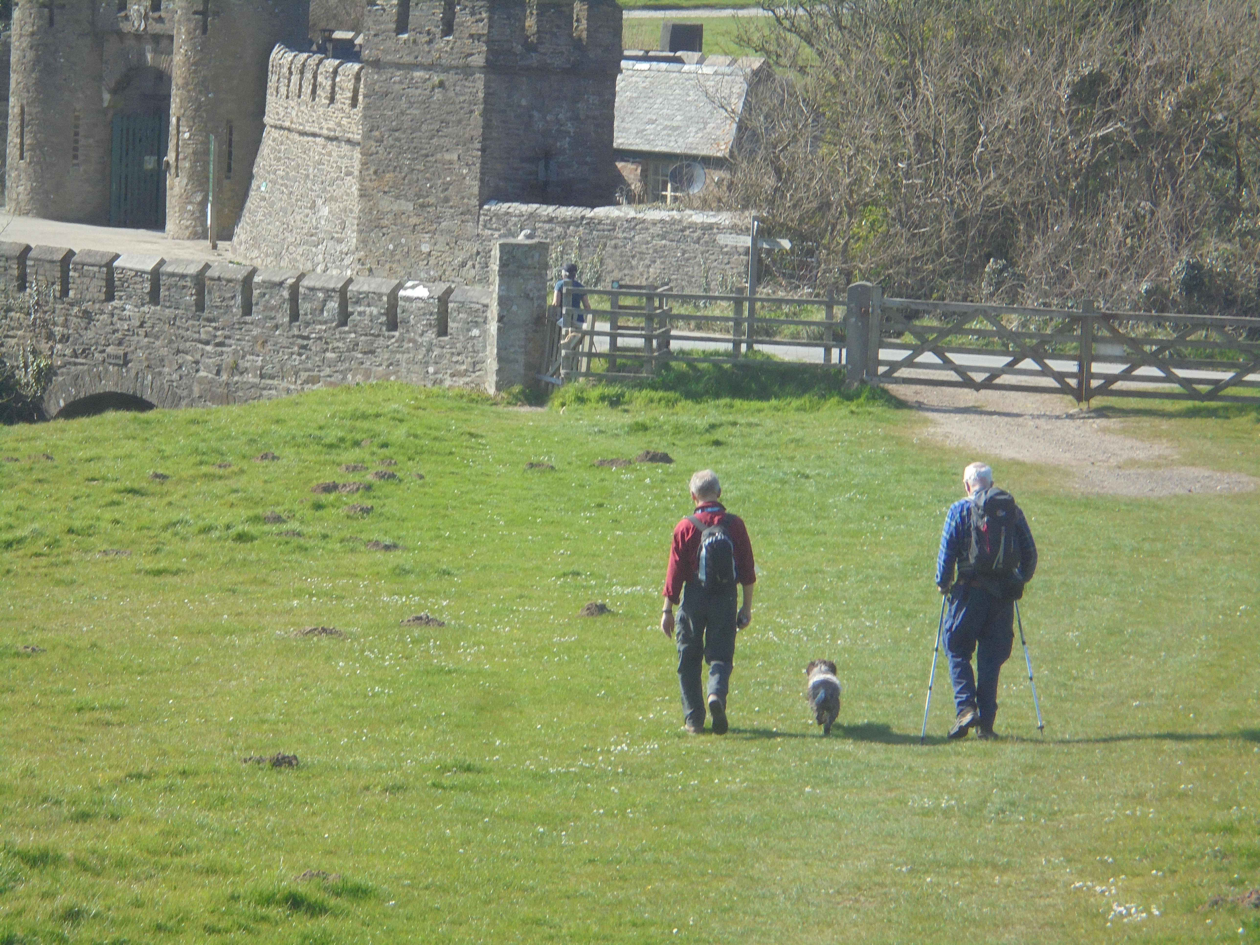
The last two hours of the walk were hard work. Climbing steeply out of West Portholland we followed a path that was part drain and part ditch mixed with some steps. It was all difficult and we were very glad not to be doing it in the wet.
As Cassandra had warned the last mile was wearing so it was a pleasant surprise suddenly to see a woman in a white jacket – Wendy. Just over 12 miles on the first day taxed us heavily so we had to take emergency medication at the Lugger.
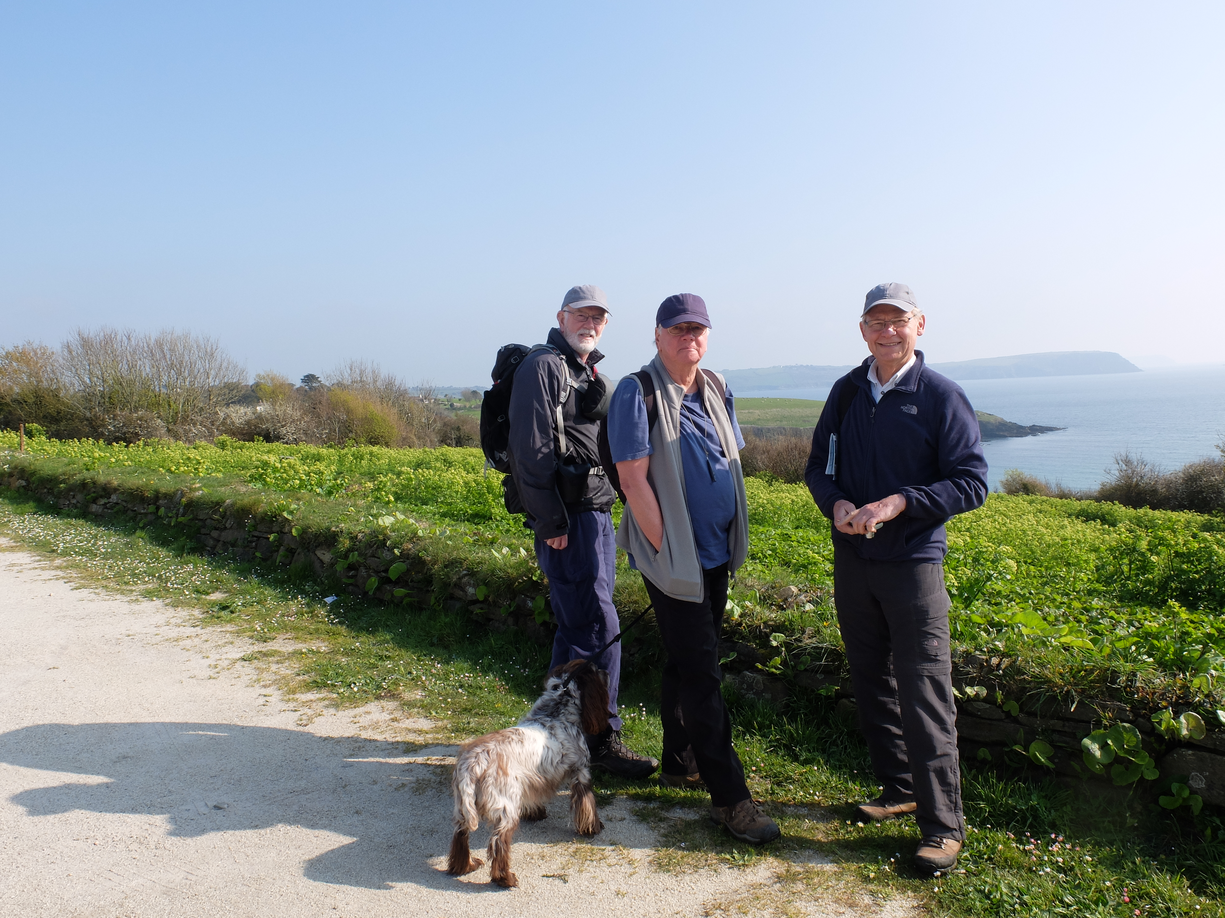
Ambition was modified on the second day. Martin had been over exercised by Milo on the first day so went off for a more relaxed walk on the north coast. Richard, Dugald and Wendy went back to Portloe and met Jane and Perran Ziar, friends of Dugald and Wendy. We set off out of Portloe as five. It was cold and overcast.

We passed Broom Parc where ‘The Camomile Lawn’ was filmed in 1992.


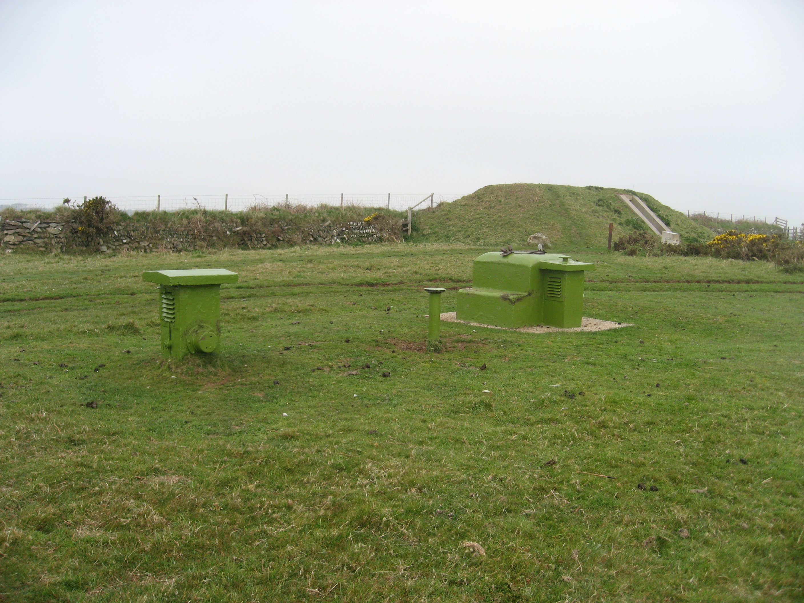
The top of a steep descent into Kiberick Cove was a sensible turning point for Perran, Jane and Wendy and they set off back to Portloe. Half an hour later we arrived at Nare Head. As in many other parts of the coast there are some interesting defence relics. The most recent is a Cold War bunker maintained by the National Trust where the Observer Corps could monitor radioactivity. It was only decommissioned in 1991. Perhaps more intriguing is the World War II decoy station whose function was to confuse enemy bombers by displaying patterns of lights and periodic fires to mimic a target area. Apparently there were nearly 800 strikes on decoy sites round the coast so they had some effect. It must have been an unnerving task sitting in the control bunker.
In the middle of the morning the sun broke through the grey. It seemed to encourage the butterflies too. Not long after we saw a holly blue, a speckled wood and a tortoiseshell. We also saw the beetle the devil’s coachman identified by Martin the previous day.
Above Carne Beach we saw but failed to photograph the Nare Hotel where Wendy spent some holidays as a child. No brownie points awarded.
We passed an attractive group of belted Galloways with a Devon bull.

Five minutes later we found an upturned and vandalised bench. The red hair on it was a giveaway – the bull had been having a good rub. From here on the cliff was low and level. Rounding the headland at Pednvadan the welcome sight of Portscatho came into view. We met Wendy at the car park above Portcurnick Beach. She whisked us back to Truro via the King Harry ferry, where the sight of large ships laid up in the Fal is always a surprise.

Our walk on 29 March was much shorter – seven and a half miles. During the day we had also managed not to leave the EU, a more momentous issue than our walk.
The next morning the sun was out early. We had all failed to bring sun hats so Wendy had kindly equipped us with uniform baseball caps. All we needed now was a badge. We were back to strength with Milo in tow. Ahead of us was a sea of cow parsley.
As we got ready there was a cirl bunting regaling Martin. He thought it was only one; we thought it was the full South Cornwall Cirl Bunting Choir out for him specially. Walking through Portscatho it was a bright sunny day. We were surprised by a plaque commemorating servicemen killed in the Burma campaign in the Second World War. It was the idea of a Burma Star Association member who settled in Portscatho in the 1980s.

The coast here was characterised by very rocky outcrops surrounding small beaches. The cliff height was steadily declining as we headed south and west.

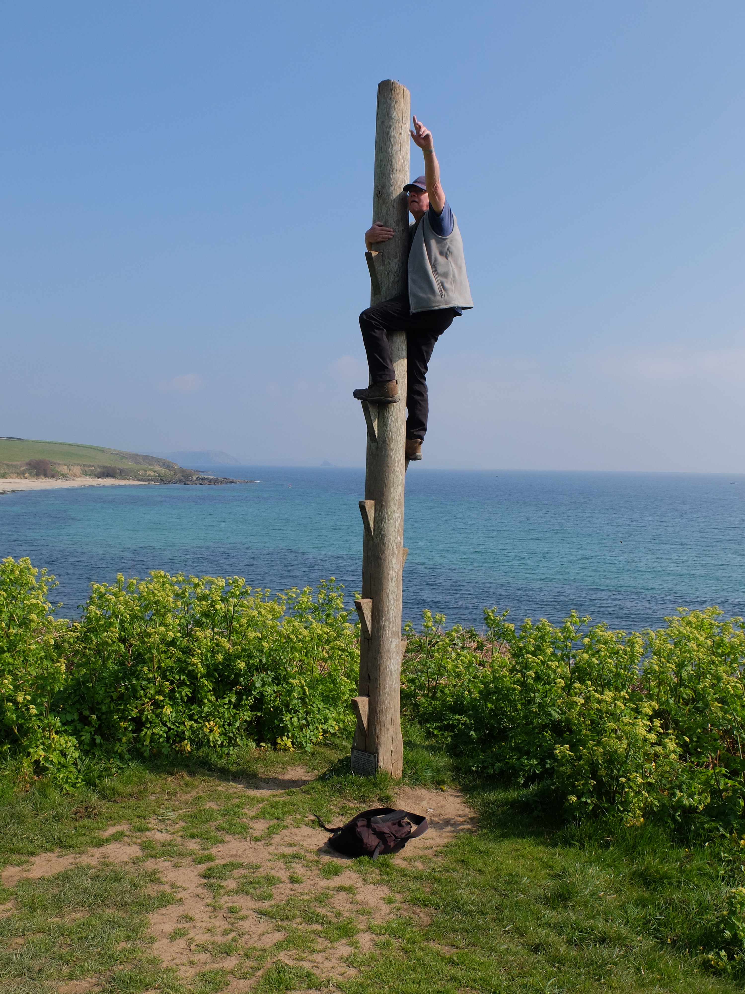
An hour into the walk we paused as Richard went back to retrieve the A-Z coastal map he had dropped. Someone had thoughtfully adopted it but handed it back to him. Soon after we came across a wreck post, an erstwhile training devise for the coastguard. It was used to practise breaches buoy rescues. Martin’s use of it was not in the training manual.
The sight of a seal a few minutes later just north of Killigerran Head eclipsed the wreck post. There were large numbers of cormorants and shags on nearby rocks – but we weren’t sure of the mix of each.

Just after midday we crested a small rise to find Falmouth and the large estuary laid out in front of us.
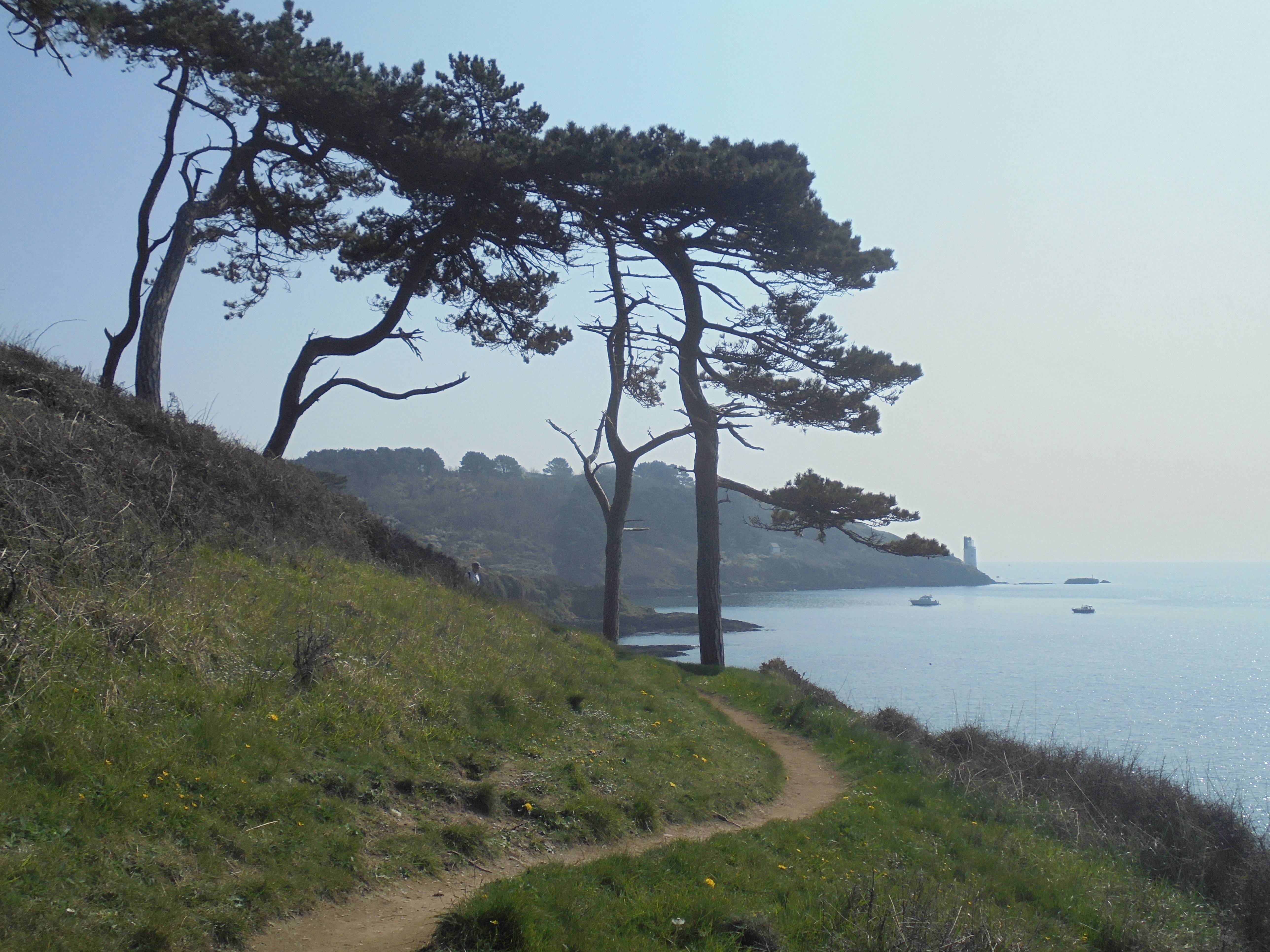
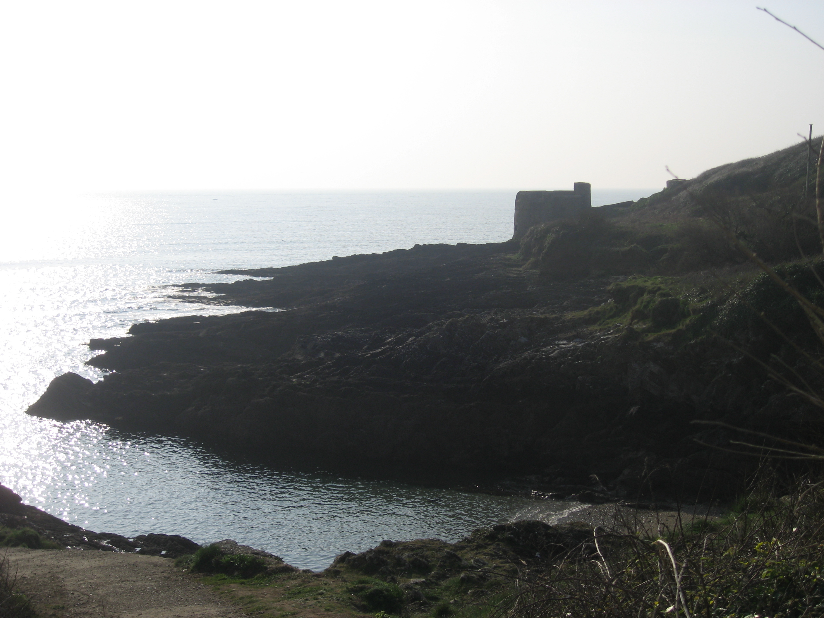
Round St Anthony’s Head we passed an array of old defence installations and the small lighthouse that nestles under the cliff top. It was built in this position in 1835 in order to avoid disturbing the slumber of St Mawes residents.

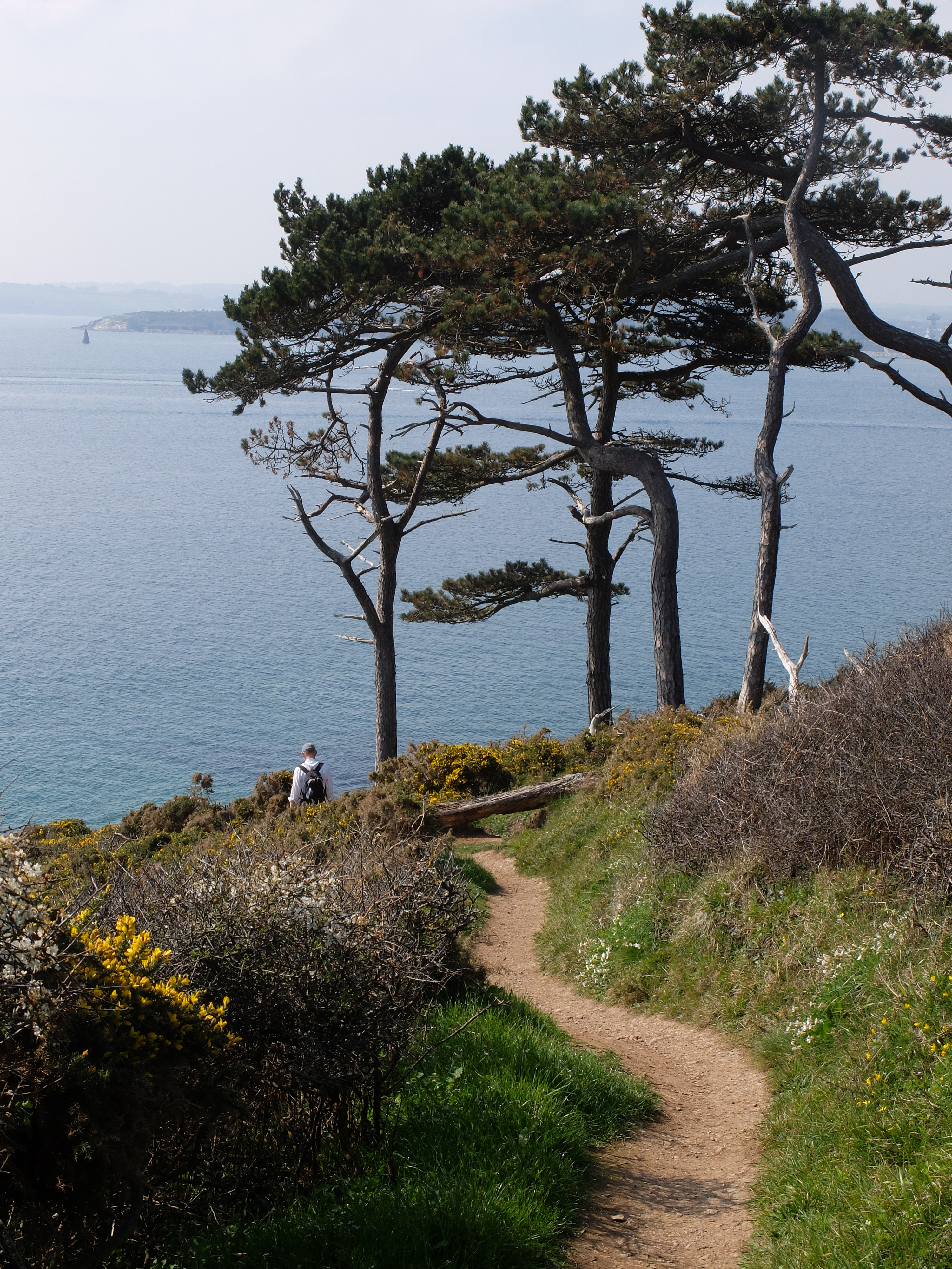
The path from here to the village of St Anthony includes a lot of cool and attractive pinewoods.
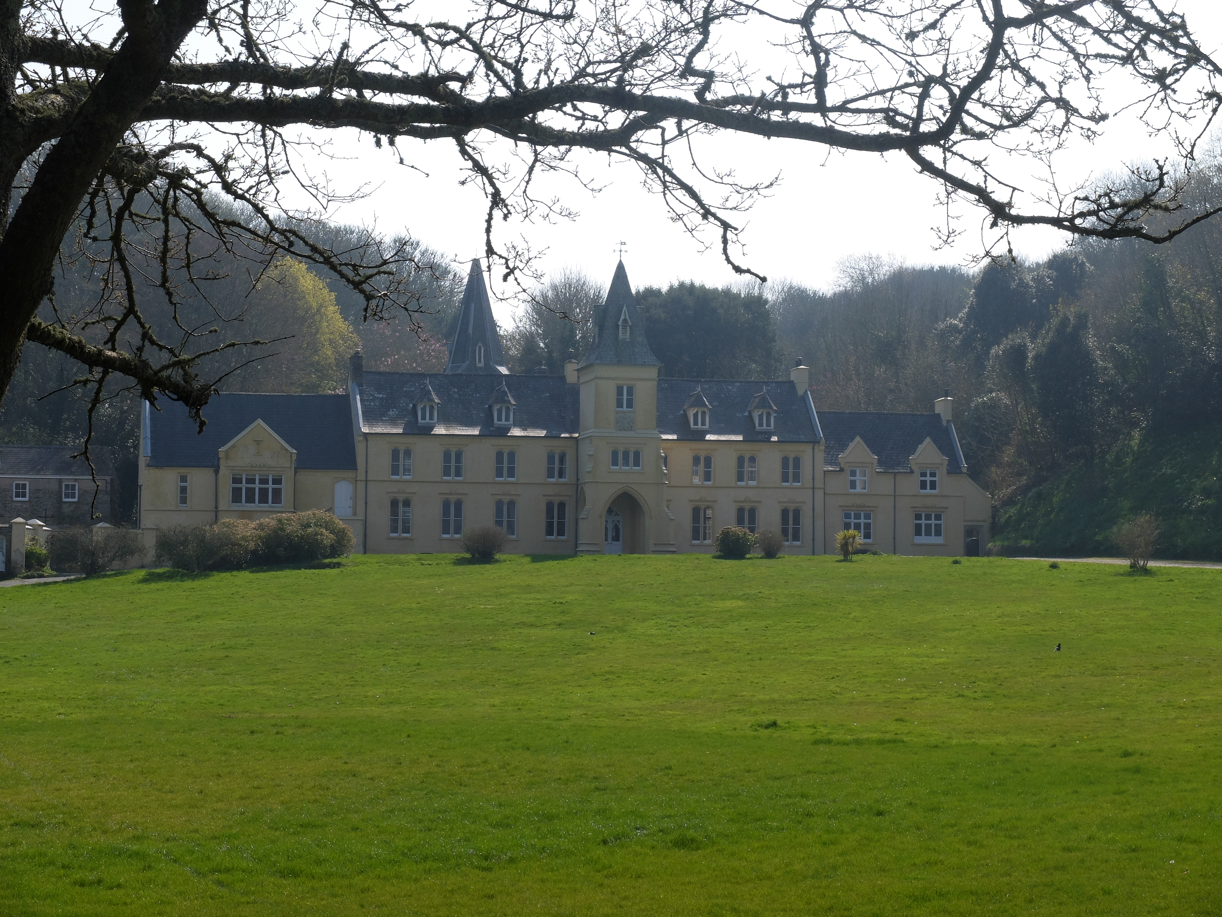
Getting to the village involves a diversion round Place House, a large and elegant early Victorian house with strong French style.
Behind it is the older church and attractive orchards.


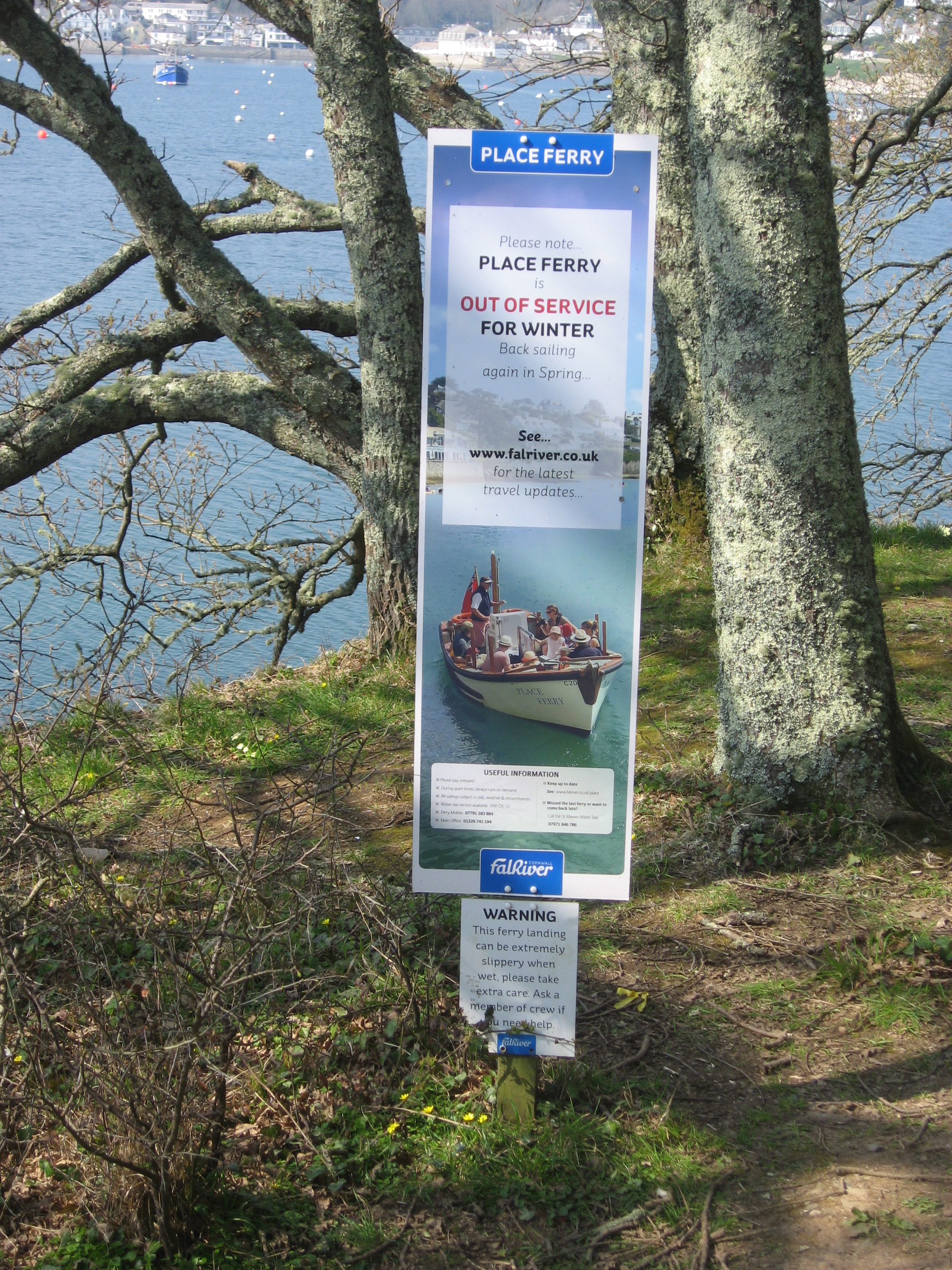
The coast path ends here at the ferry crossing to St Mawes. The Place ferry only runs in the summer so we could only admire its sign.
Three days in and we had only covered twenty-six miles. Minehead is still some way ahead.
As the next day was the start of BST we lost an hour. In spite of that we were in Falmouth at 0845, grateful that there was no weekday traffic. We set off with purpose. In doing so we missed seeing the King’s Pipe. This is a furnace and chimney used to burn contraband tobacco. It’s an intriguing thought that seasoned local smokers must have done quite a lot of secondary smoking courtesy of His Majesty’s excisemen.
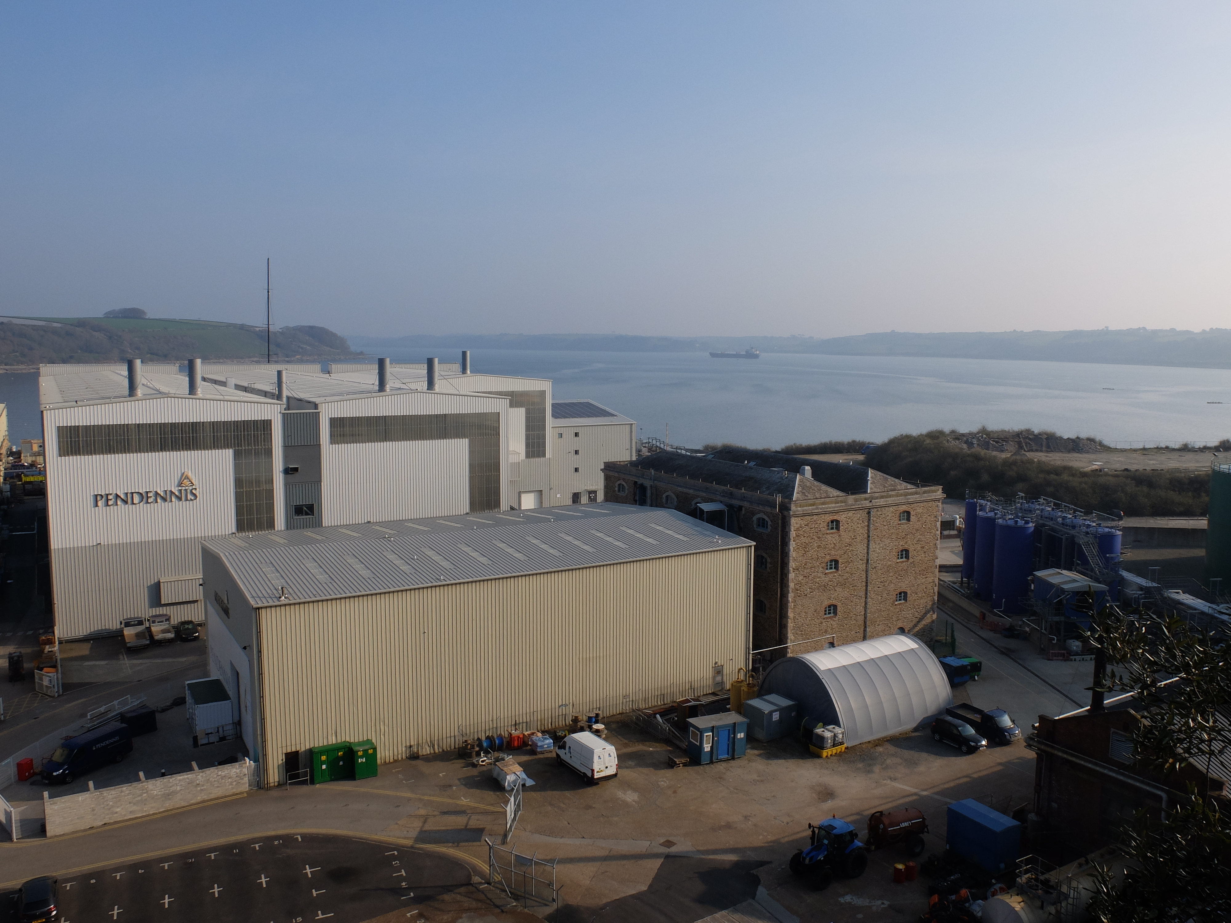
We walked through the town and past Admiralty House, a worn but elegant Georgian building. The path climbed round the harbour overlooking the old and modern yards. The harbour is described as one of the world’s largest natural deep water harbours and has a large ship repair yard. Alongside it the Pendennis Yard builds modern superyachts.
Two gigs were out for an early morning row. A light mist hung over the scene and Pendennis Castle stood out from the haze.
Rounding Pendennis Point took us from a working area to one of holiday and leisure.
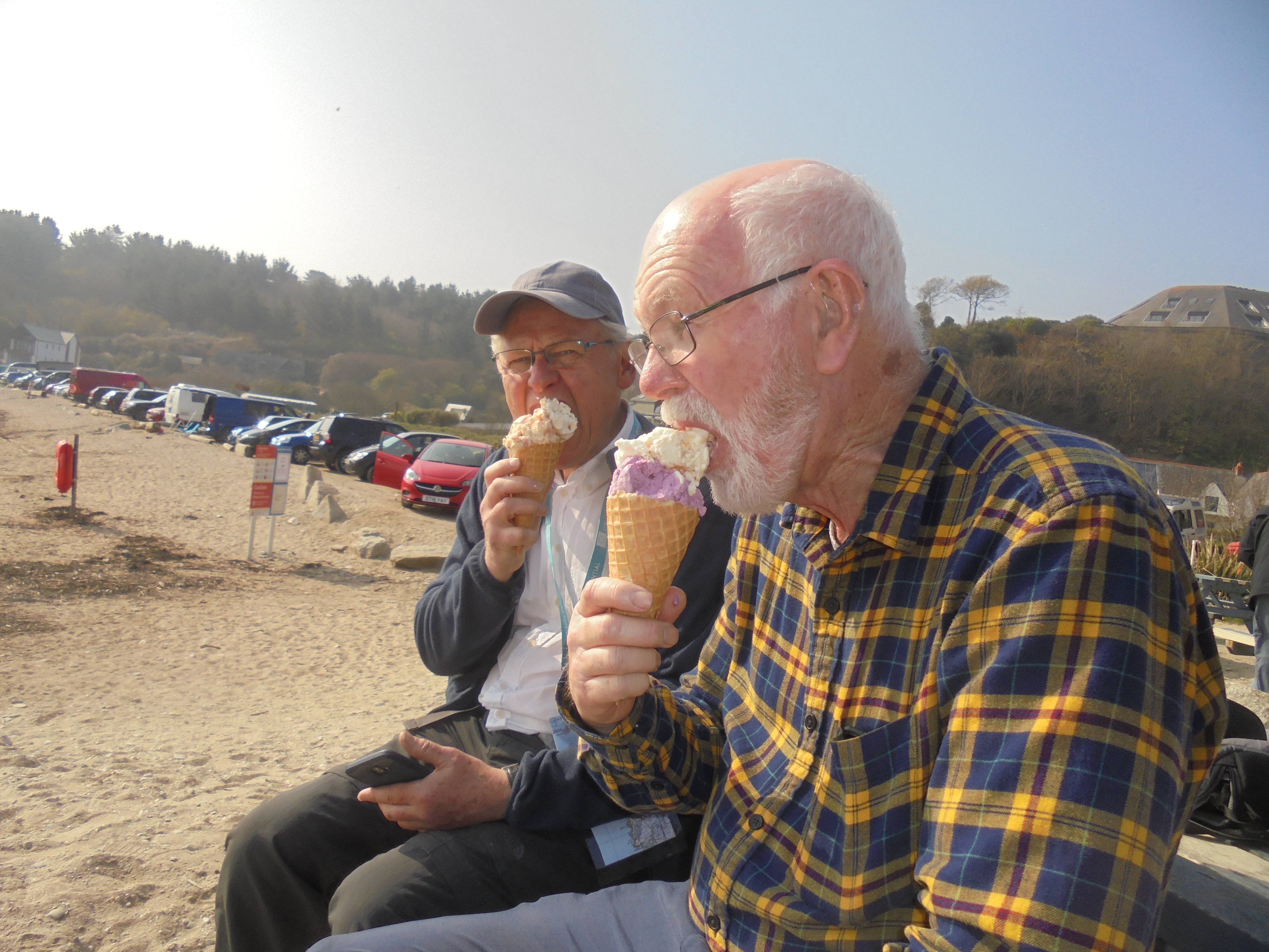
By mid-morning it was time for messy ice cream and coffee on Maenporth Beach.
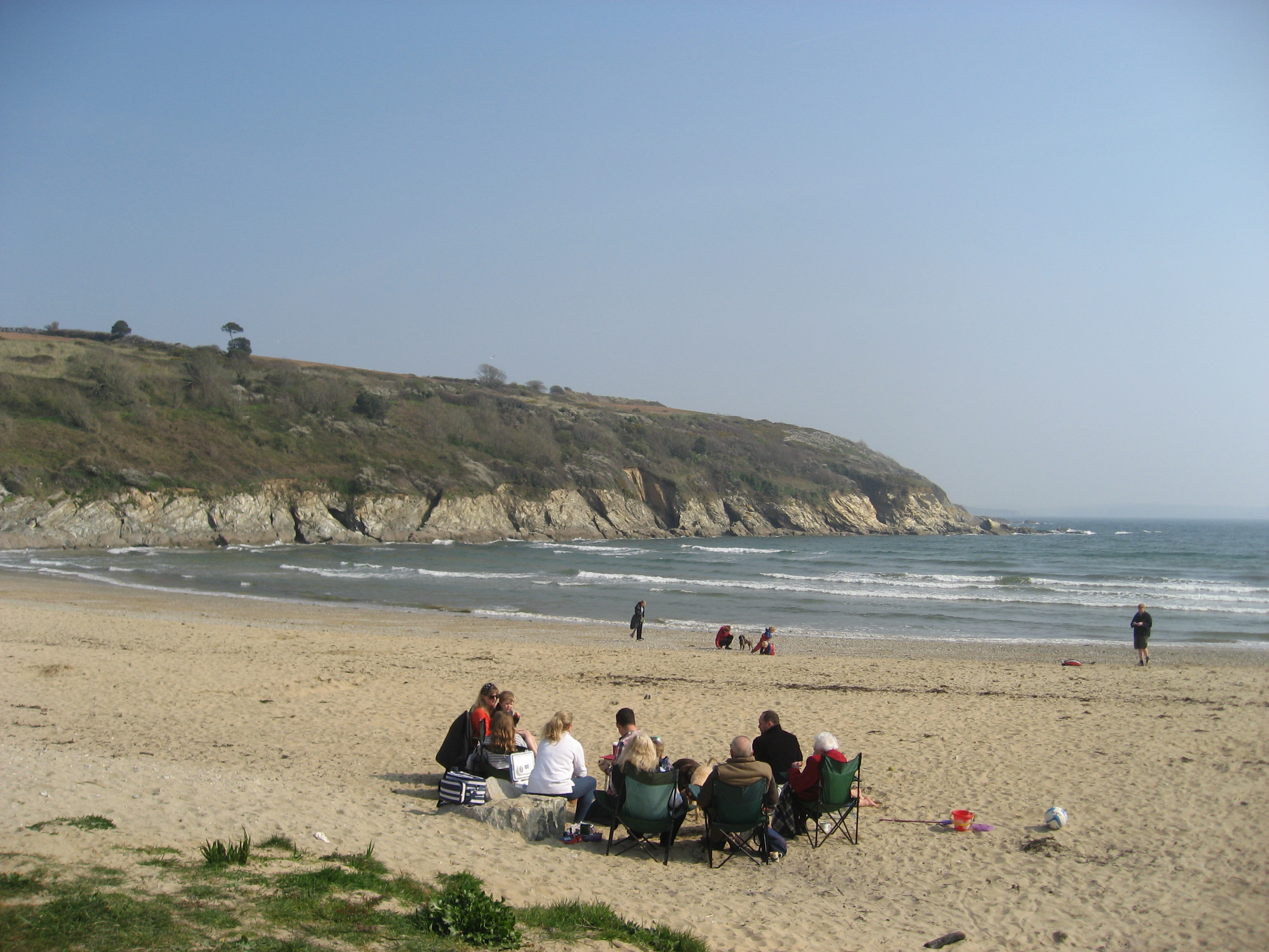
There were lots of people on the beach including a well organised picnic party.
Moving on we were near Bream Cove when gannets put on an exciting display of diving and fishing, showing off their long slim wings. We rounded Rosemullion Head and shortly afterwards met the National Trust Tyntesfield girls’ weekend out – their description – a lively team of ten women, one baby, a small terrier and one very old retriever. If you visited Tyntesfield on March 31 and were greeted by a crowd of despondent males, you now know why.
During lunch Martin pointed out that the chiffchaffs were announcing the arrival of spring. Cheered by the Tyntesfield women and the chiffchaffs we pressed on. There was an increasing onshore breeze coupled with fog going through the attractive pinewoods on the way to Passage Cove.

We got to the Ferryboat before half past two and settled down for a wait. We had increased our pace to 1.83mph (approx.) surprising ourselves and Wendy. Reading recently about Wainwright’s assumption that an average of 4 mph could be achieved, admittedly with some modification for height climbed, gives pause for thought. But Wainwright was not interested in cirl buntings or seals – his loss.
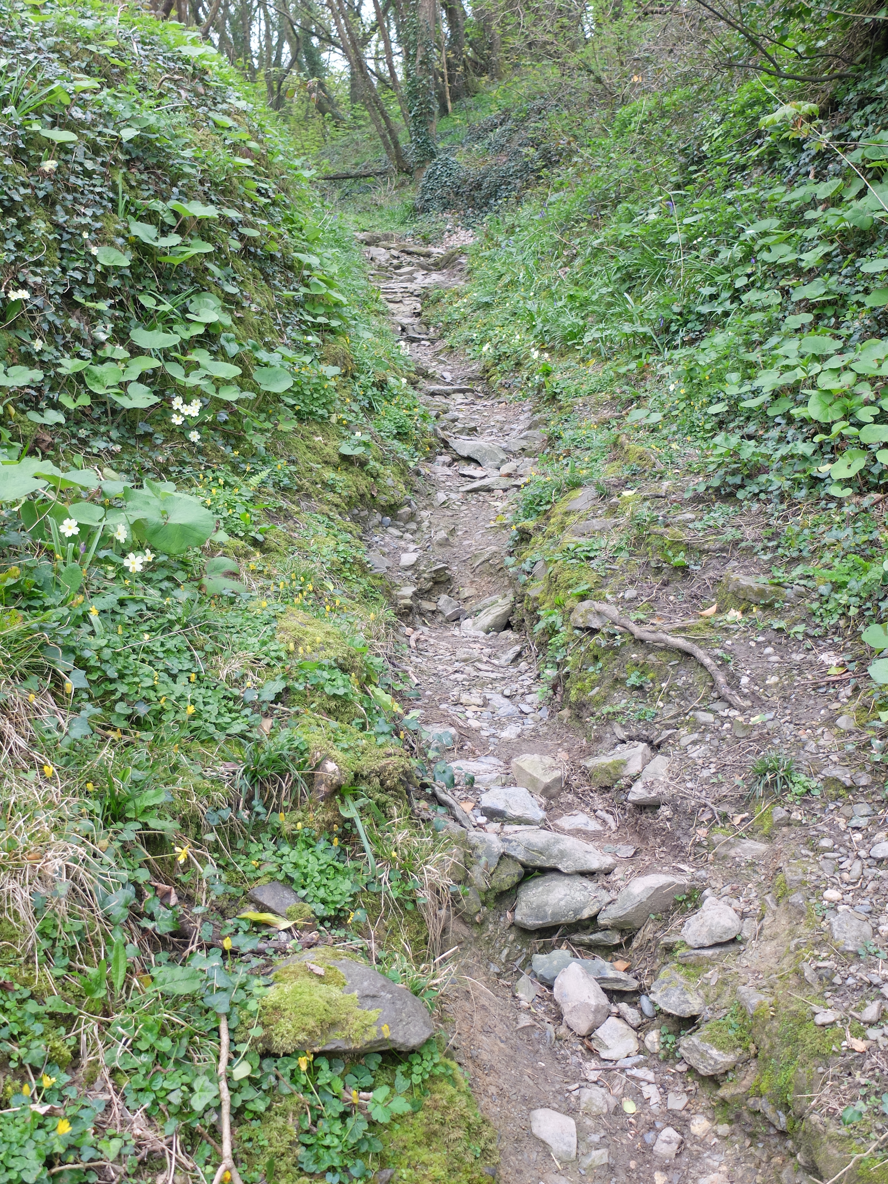
The fifth day was 1 April and started with a collective loss of concentration. When we got to the car park at Helford we discovered we had left all the maps behind and two of our three cameras. We agreed a check list would be a good idea. It was a cold overcast day. The path from Helford to St Anthony in Meneage was the roughest and worst maintained we have met so far. It was not the rises and falls so much as the appalling surface that made it hard work.
When we got close to St Anthony we were reminded of the usefulness of maps. Following the “headland loop” we arrived back at the same place some time later. The “loop” should have been a hint. On from there we were faced with a choice. It was close to low water and Gillan Creek could either be waded or walked round. There was some debate about which made better sense.

Martin made clear he was not walking round and set off through the water assisted by Milo.

Richard and Dugald set off round the creek. In the main a pleasant walk with some attractive views.
But the lack of a map again proved a problem and the circuit round Gillan Creek, which counts towards the 630 miles of the path, was longer and steeper than necessary. Trying to re-establish contact with Martin we were surprised that Wendy answered our text; but less so when we realised Martin had left his phone at the house. Shortly afterwards we found Martin relaxing on the foreshore. He claimed his feet had dried in a few minutes. He had made the right call.
Just after midday we passed the Nare Point coastguard station. We then saw a spectacular wildlife display. A pair of ravens was flying in a close and coordinated display which went on for some time. We were not sure if this was a courtship display or territorial, but it was prolonged, precise and exciting to watch. At the end of the flight they split up and flew off in different directions adding to the mystery.

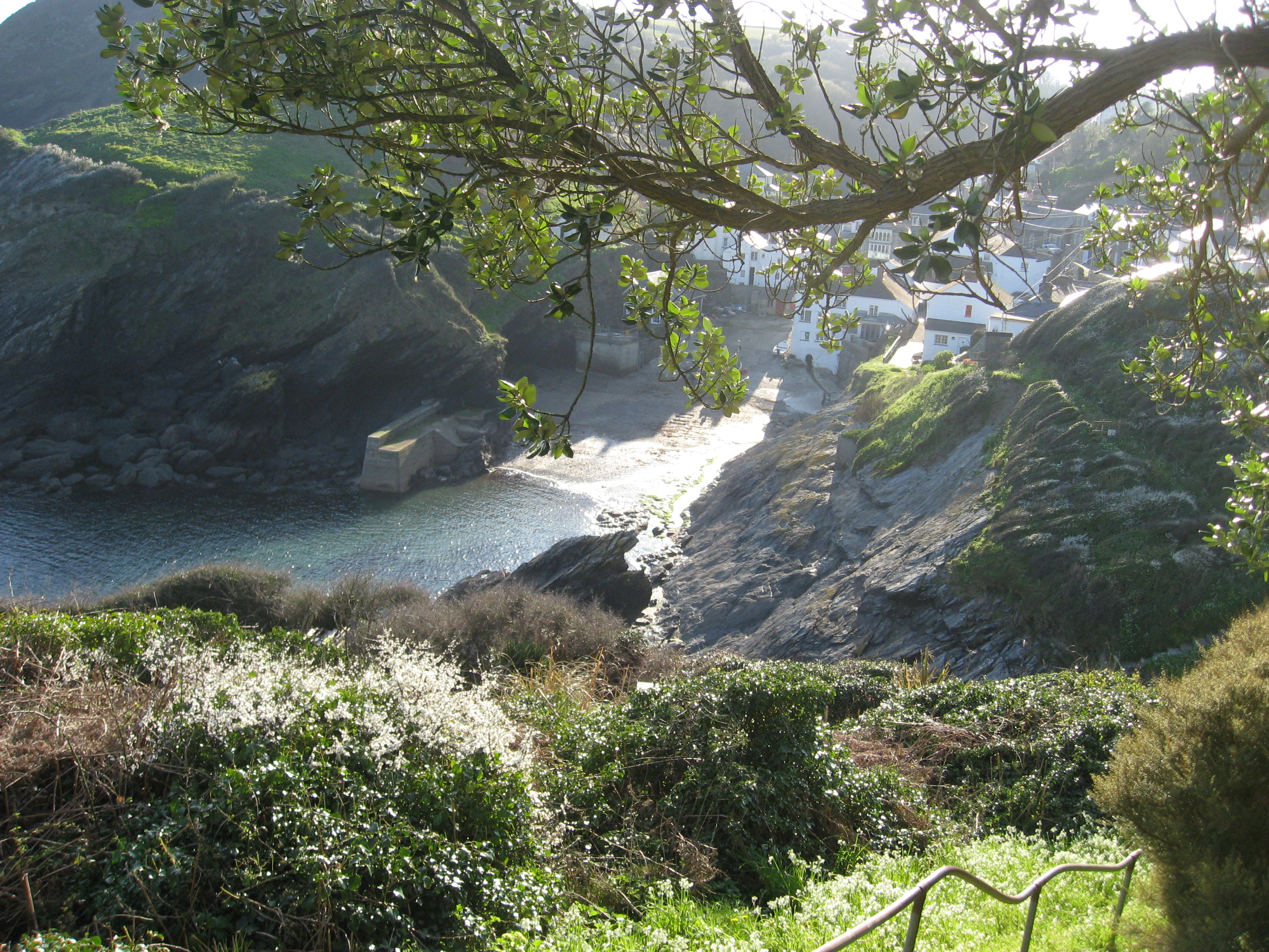
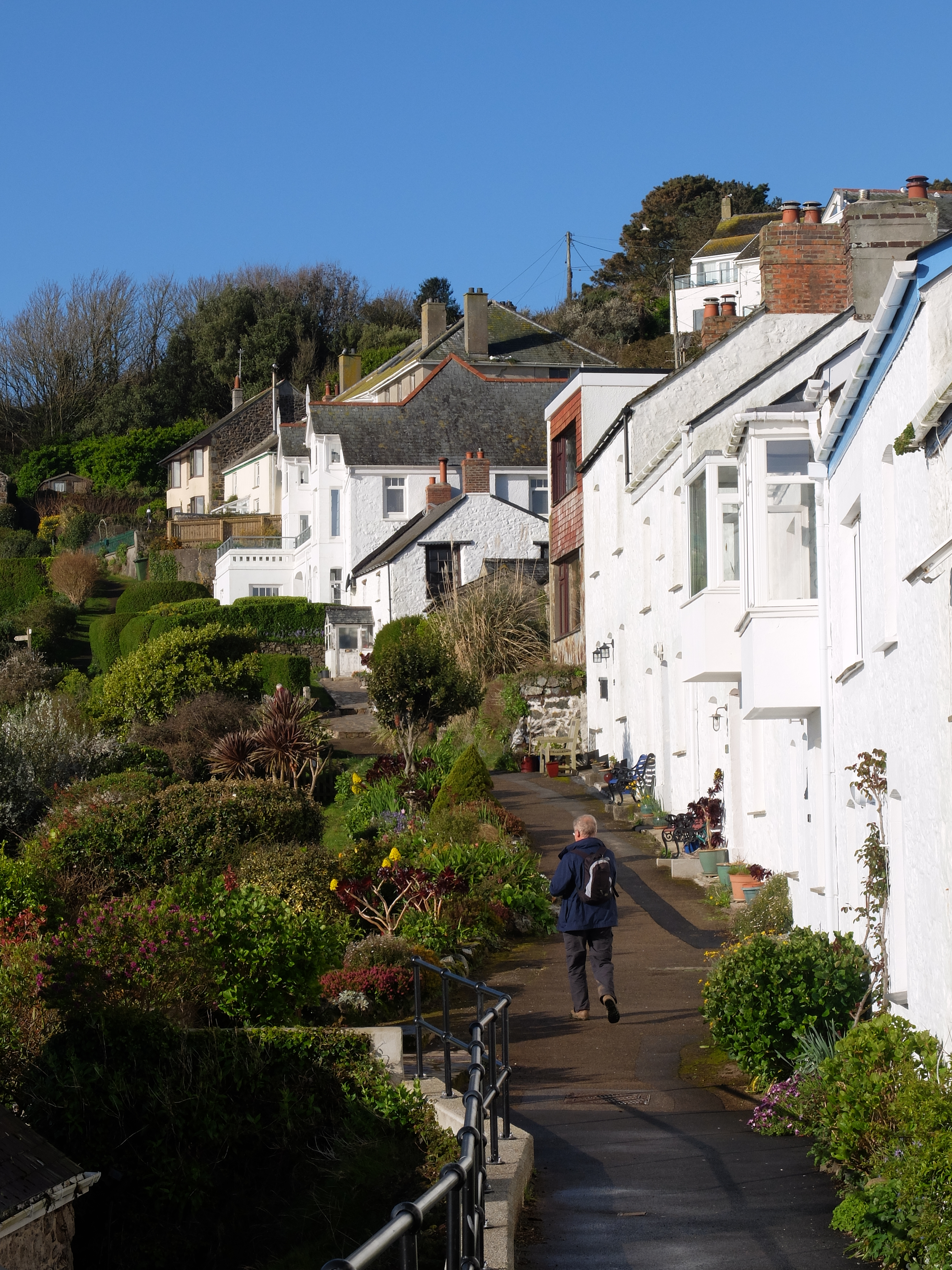
A few minutes later we came into Porthallow, a small and pretty village.

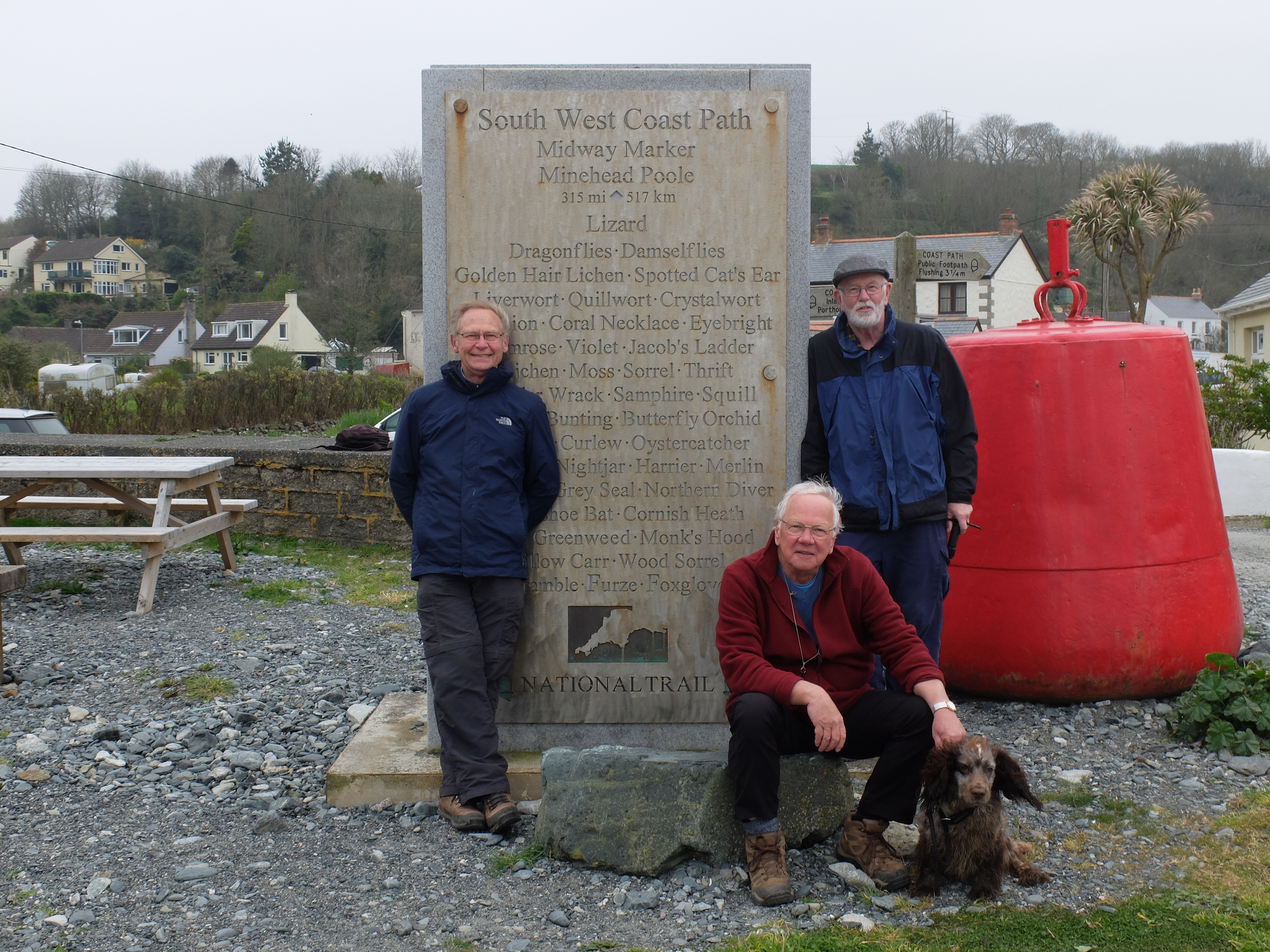
Porthallow is not just another village: it is the half way mark for the coastal path. It was essential to get a picture in front of the half way marker. Dugald’s camera was set up in the car park on a tripod and photos taken. After the second one a car swept in threatening camera, tripod and images. Yelling like a banshee Dugald leapt forward and the surprised driver missed the camera. He was a good humoured man who then agreed to take a much better picture of the group.
There was a long inland section after Porthallow but we were back on the coast by half past two.
The path led us past a large area of quarrying. It was a desolate scene like the worst setting for ‘Game of Thrones’.

From here on we were on a low foreshore strewn with granite boulders. This was a new landscape requiring navigation between the rocks.
We passed an area of recently burned gorse before arriving in Coverack. We had covered just over 13 miles, the longest walk so far, but with fewer serious hills and drops than earlier in the week. Our average speed, improving again, was 1.87mph.

It was a cold afternoon so important to find shelter. The solution was the Paris Hotel by the harbour at the end of the town. The hotel is named after a liner SS Paris which went aground on the Manacle Rocks in 1899.
We set off from here the next day, the last in this Cornish visit. The forecast had turned against us and predicted hail, rain and cold. Fortunately the arrival of this weather was some hours behind the forecast. We set off out of the town in sun.
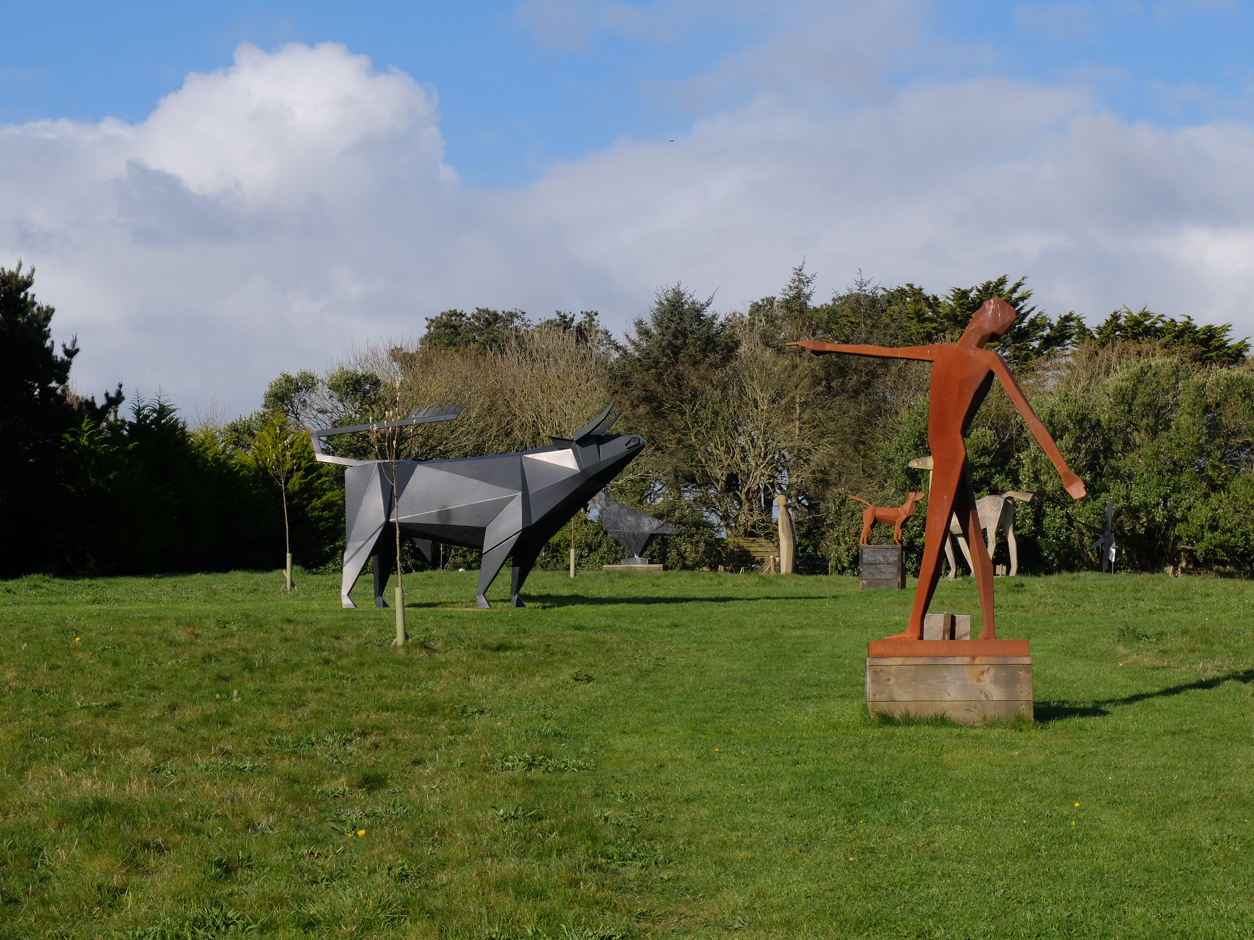
We soon had a choice between the branch of the path that was rocky or the other that was easy. We were all way past any heroics, so followed the easy path up to a sculpture park created by Terence Coventry. It was an eclectic collection with a wide variety of topics and media. We had an enjoyable twenty minutes browsing it.

We left and Richard soon dropped his glove. He went back to retrieve it: it was on the ground not in the hand of a beautiful maiden. At Black Head we visited the visitor centre, a small hut that had been the watch point for “huers”, the fishermen whose job was to spot the shoals of pilchard. Once spotted they shouted very loudly “hevva, hevva” (here they are) and their colleagues set out in pursuit. It seems unlikely that they were penned in by glass windows.

A steep descent and climb followed and then a rocky path to Kennack Sands.
Time then for a short break to admire the fish in a clear stream.

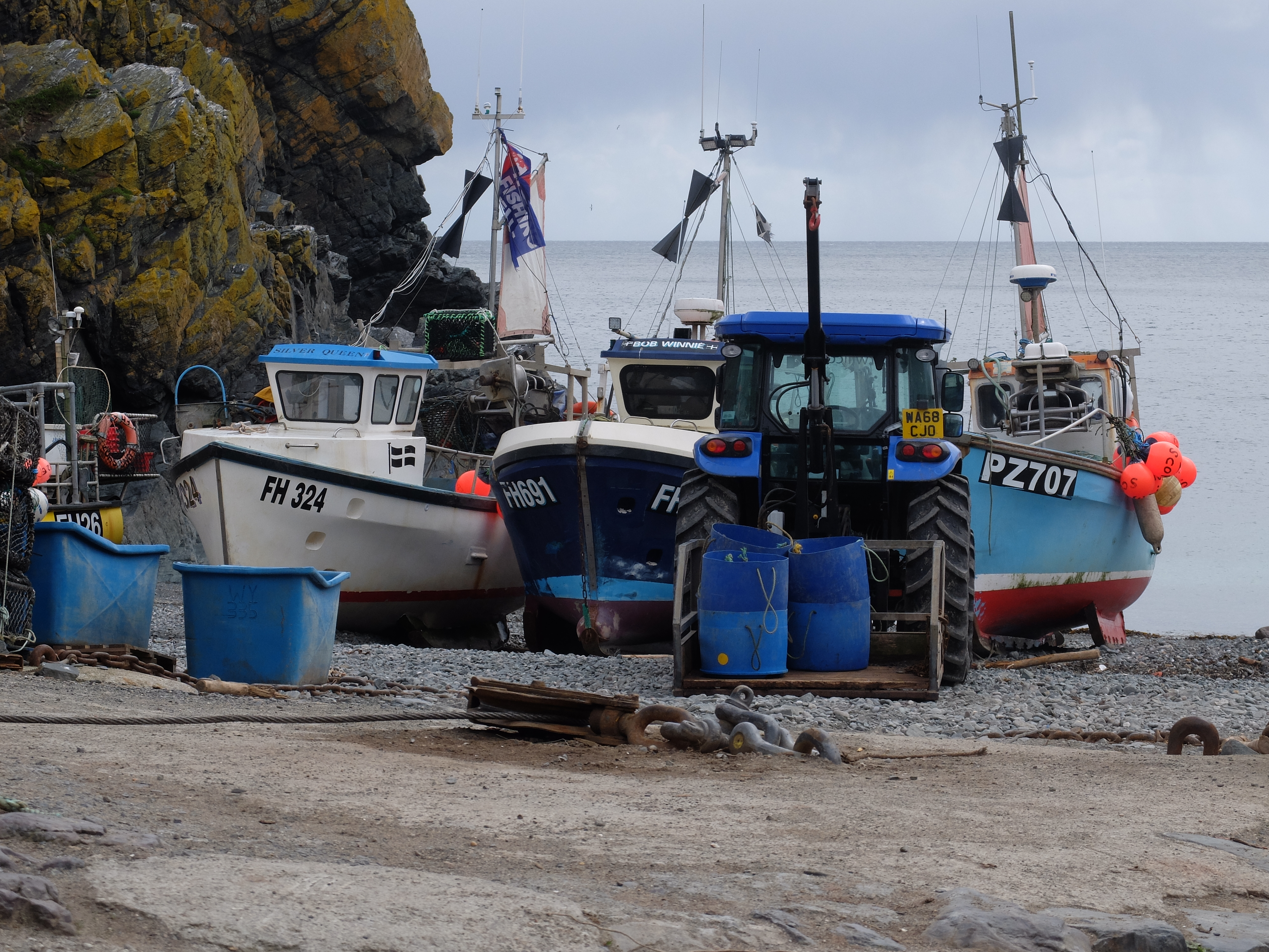
From Poltesco the path was closed because of landslips and the diversion took us inland until we re-emerged at Cadgwick Cove. Lunch was on a bench with a view of the working beach. The 68 reg tractor suggests that the enterprise is busy.
An hour after lunch our fantastic weather luck broke with a sharp squally shower of hail and rain. But it didn’t last long. In the distance we could see the Lizard Point which felt like a significant destination and waypoint in this journey

We passed the Lloyd’s Signal Station which declares itself clearly. It operated from 1872 to 1969, being in the hands of Lloyd’s from 1883. The purpose of the station was to receive and transmit messages to and from passing ships, including market conditions and any change in destination the owners wanted a ship to make.

Half an hour later we met Wendy and Milo just below the Lizard light, the end of our spring trail.

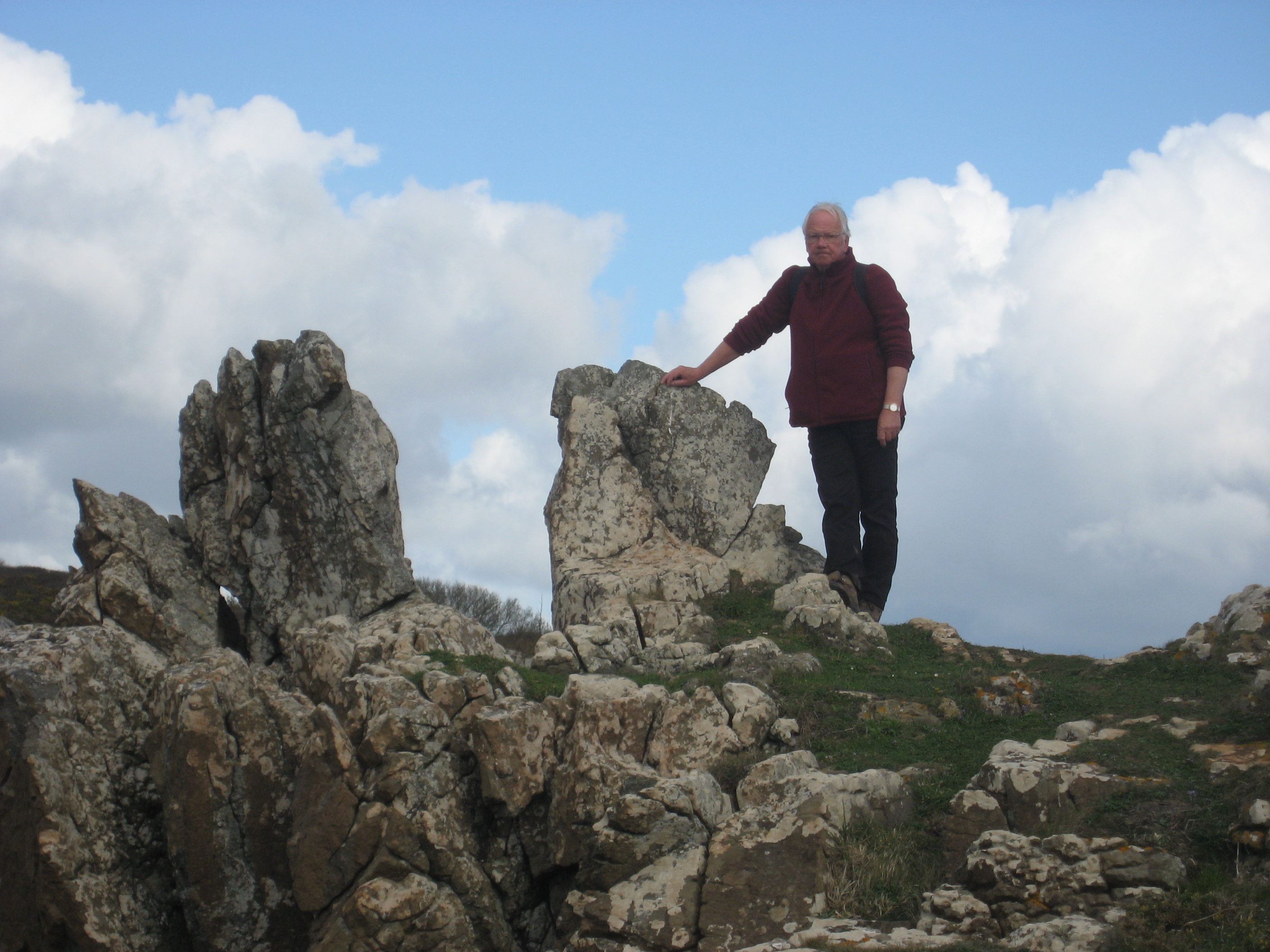
Richard and Martin were fascinated by the Lion’s Den, a large hollow close to the cliff edge. Off they went to investigate. Once there on the narrow strip between the deep hollow and the cliff edge, getting back suddenly looked more difficult than going. Richard was seen crawling back from the brink. At the same time politicians in Westminster were trying hard to do the same thing.
At the end of our six days we had covered 60 miles and were well over half way along the path. Minehead is only 301 miles away. We were very lucky that Wendy was prepared to ferry us round Cornwall and generally to organise us. Her skill in reversing hundreds of metres in front of large and threatening artics was much admired. We haven’t yet decided on the date for our next Cornish walks. The holiday season seems unwise given the traffic conditions and the hike in accommodation prices.
South Cornwall has been a delight with the landscape changing slowly as we got towards the Lizard. The heathland of the peninsula is very different from earlier parts of the coast.

It feels as though we are getting better at walking, which is lucky given the steep sections on the north still to come. We’ve seen the spring, its flowers and fauna arrive in a colourful medley. We have been sheltered from bad weather which broke with a vengeance on the night of April 2.