The Cornish coast makes up 312 of the SW Coast Path’s 630 miles. Cornwall is a long way from Montacute, Weymouth and West London. These daunting facts demanded a change to our walking habits. Driving there for two days of walking no longer made any sense. Wendy’s internet search skills were brought to bear and we booked a pleasant house in Lostwithiel for a week in early January. The party of six was Richard and Anne, Martin and Sally and Dugald and Wendy. Milo, Martin and Sally’s immaculately behaved cocker spaniel, also came to keep order.
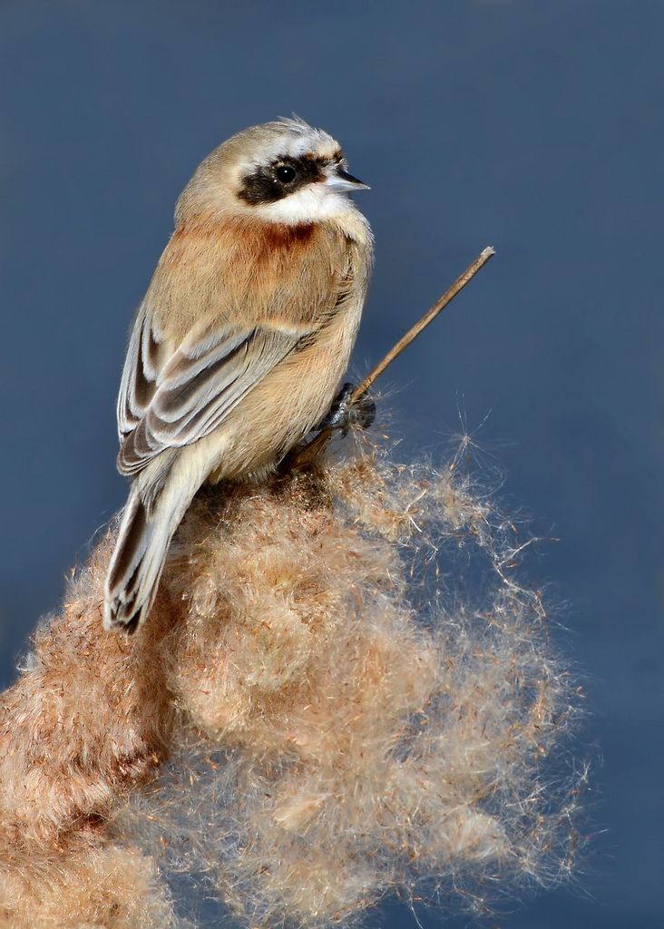
The party was put at risk by a penduline tit. Martin had been tantalised by reports of one appearing at Radipole Lake in Weymouth in the previous week. He had not managed to see it and was very reluctant indeed to forsake the said tit and head for Cornwall. But he managed to tear himself away and was greatly relieved to find that no-one had managed to see it while we were away. The library picture shows what he could have missed.
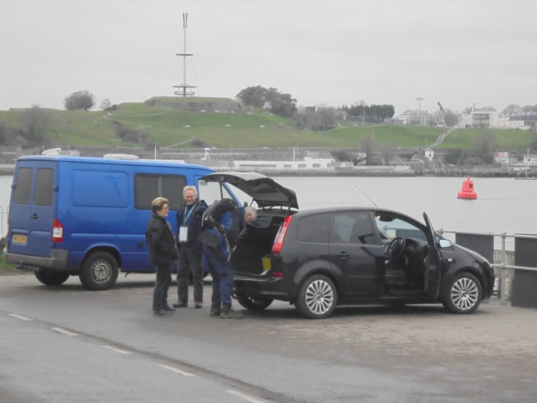
We resumed walking from the landing point of the Cremyll Ferry and could admire the Royal William yard from across the water. It was a mild overcast day.

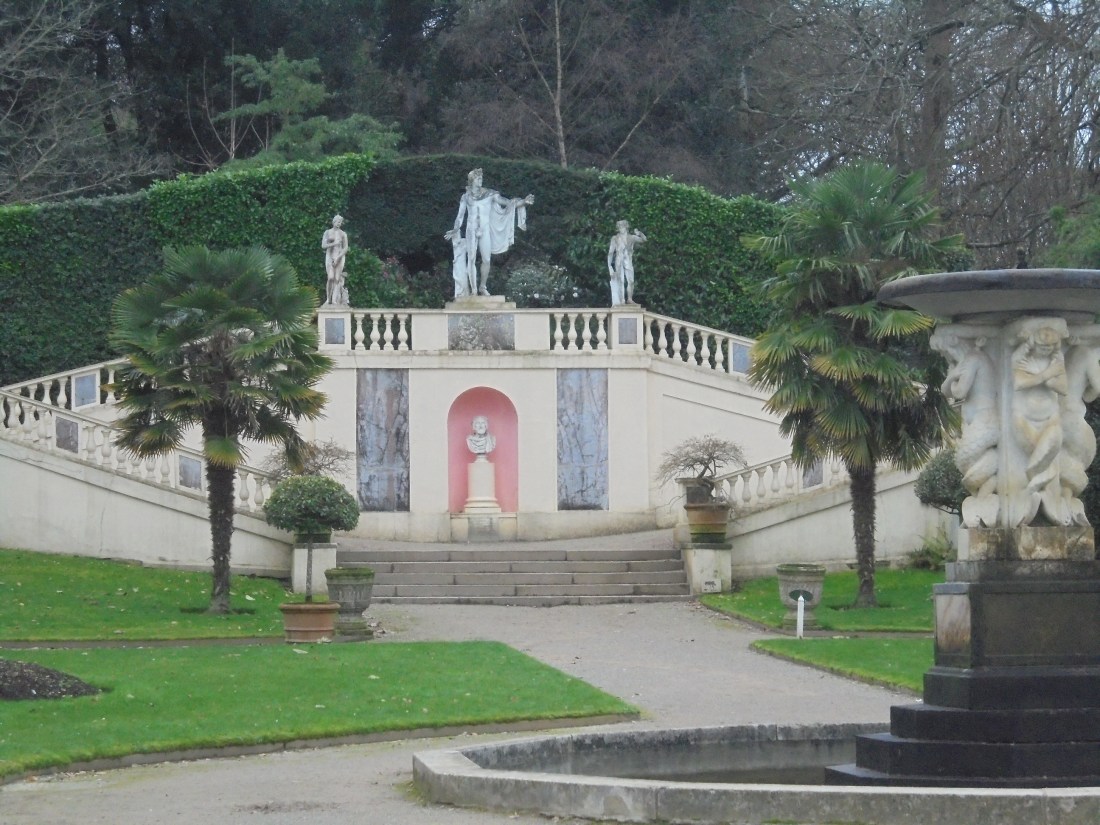
The path started through the grounds of Mount Edgecombe, a house and estate built for Sir Richard Edgecombe in 1547. There is an eclectic mix of sights there from Italianate gardens to a black bee reserve. Intriguingly the commander of the Spanish Armada, the Duke of Medina Sidonia, selected it as his home once the invasion was complete – a bit premature.

Moving on maritime history was always close. Drake’s Island was fortified from Tudor times onward.

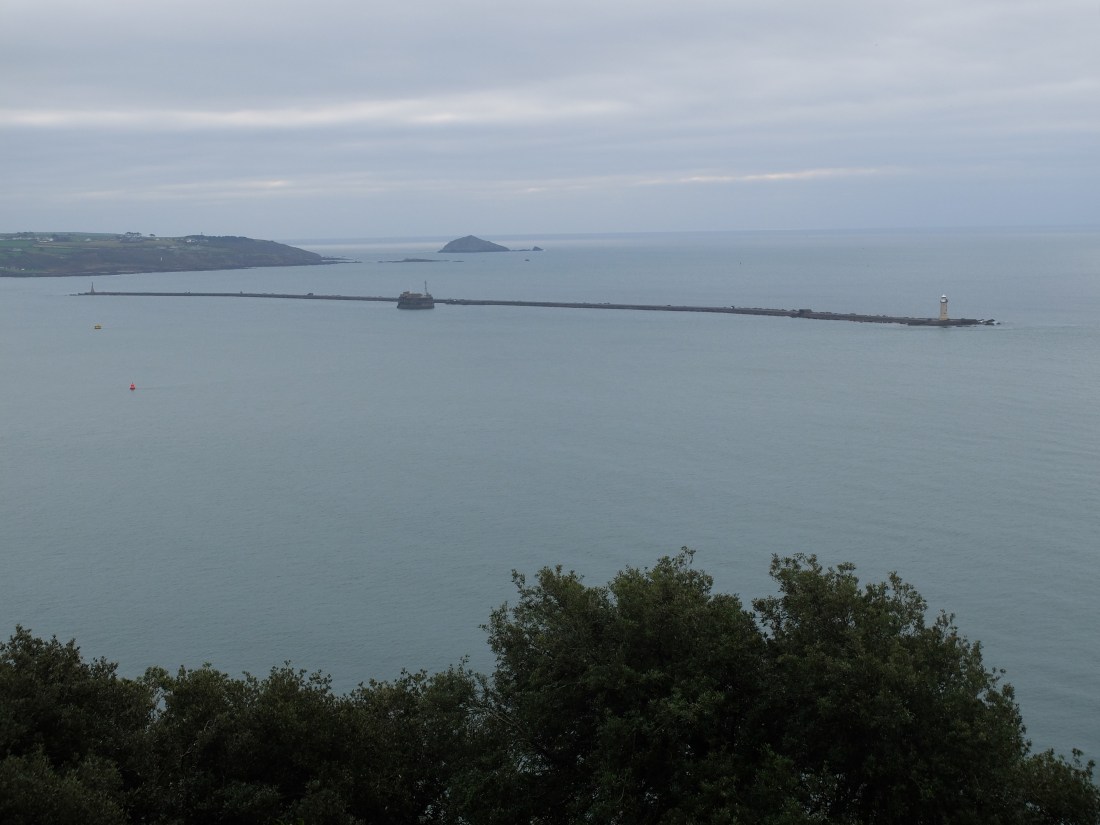
The breakwater protects the harbour and was built in a 30 year project. Started in 1812 it was described as the “The Great National Undertaking”. It is nearly a mile long. The free standing fort was built later as part of the Palmerston forts.
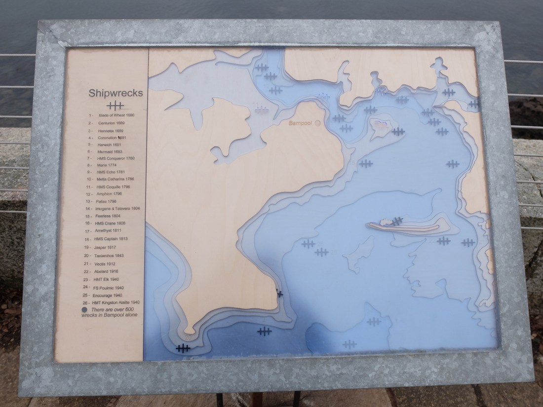
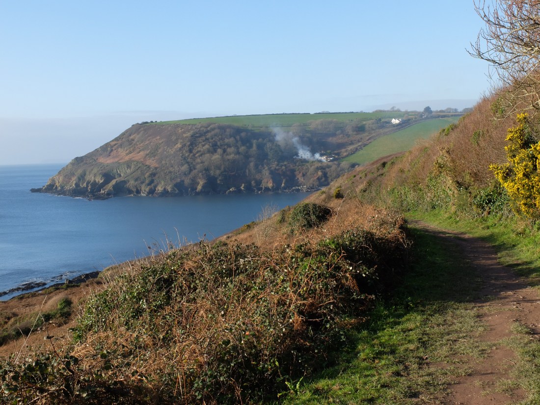
 A board overlooking the Sound describes six hundred wrecks in the small area of Bampool.
Concrete roads running through the edge of the gardens felt incongruous until it became clear they were part of US D-Day preparations. It was poignant to walk round this formerly great and confident port in the same week as the country continued to demonstrate its confusion and lack of direction.
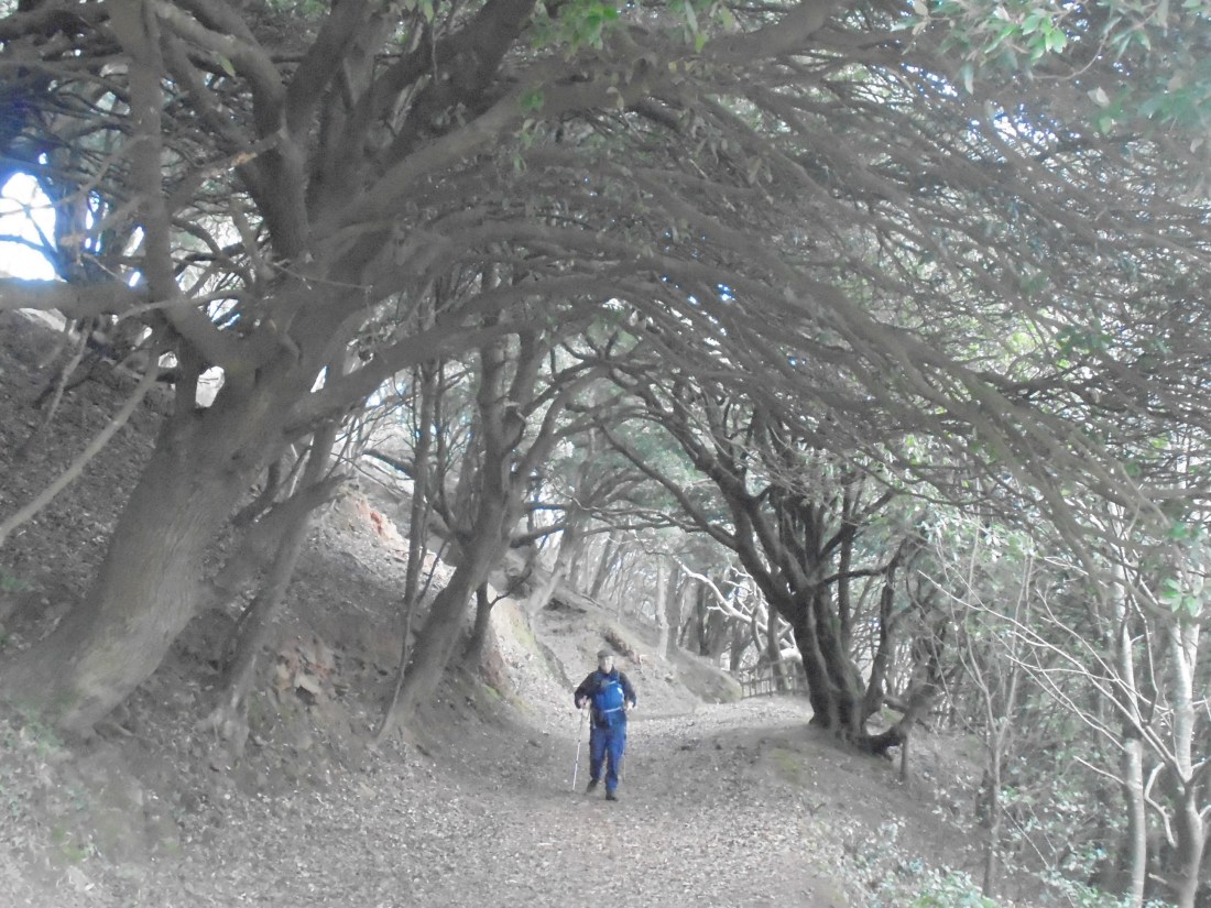
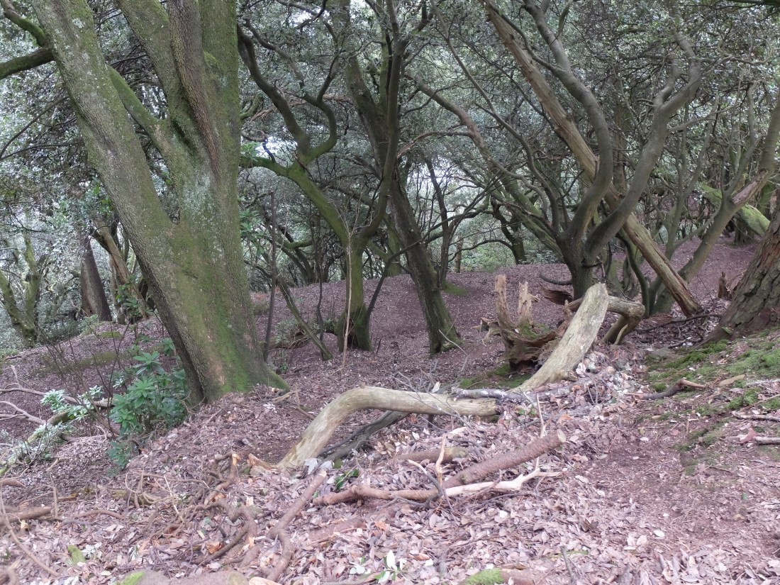
Leaving the gardens we walked through old woodland on the way to Fort Picklecombe. Twisted holm oaks mixed with rhododendron to produce a warm sheltered feeling.
The path went round the back of the fort which now houses apartments. This was one of the many Palmerston forts in the area and awakened our interest in the fortifications built in the mid-nineteenth century. That evening we were to end our walk at another much larger fort of the era – Tregantle Fort. In the meantime we were heading for our first real Cornish settlement – Kingsand-Cawsand.

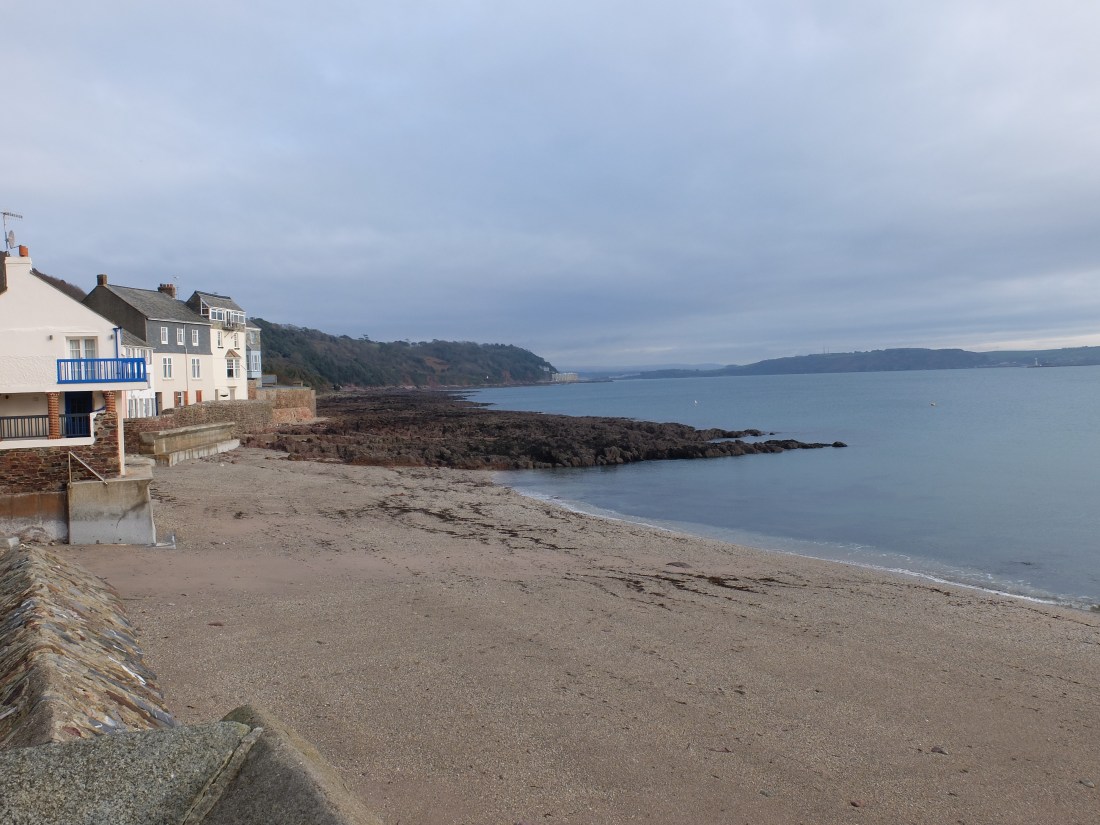
Here we found the most delightful village with very narrow alleys keeping cars out of much of it. The two villages of Kingsand and Cawsand were until 1844 in Devon and Cornwall respectively, separated by the “Boundary Stream”, but feel like one now. The sun had come out to bathe the scene. As we left a couple of lively mature women told us we could have joined their Tai Chi session on the beach: we expressed our regrets.

Shortly after we left Cawsand we heard the eerie sound of an air raid type siren going off in Plymouth. It was a forlorn sound, but not a ghost from the past. Apparently it was the weekly test of the siren that is on standby in case of radiation leakages in the dockyard. Walking west from Penlee Point we could see the Eddystone Light, thirteen miles offshore. Without explanation Martin broke into a spirited rendering of “Love grows where my Rosemary goes”. He had to explain that the song came out in 1970 sung by Eddison Light – OK we’ve all got the connection now. The calm warm day continued.
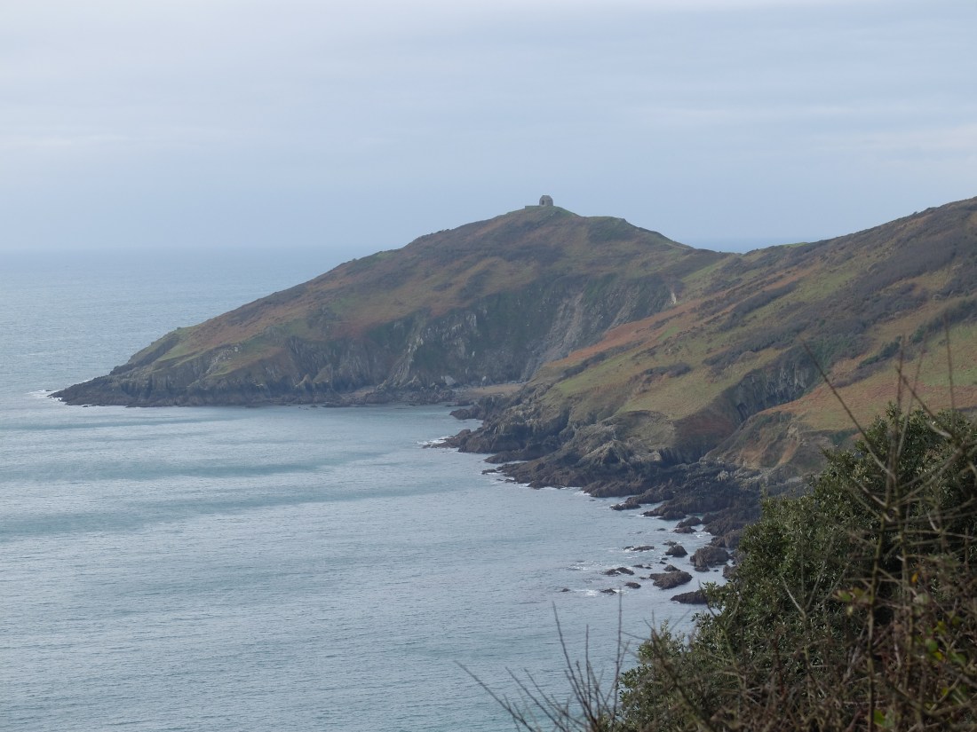
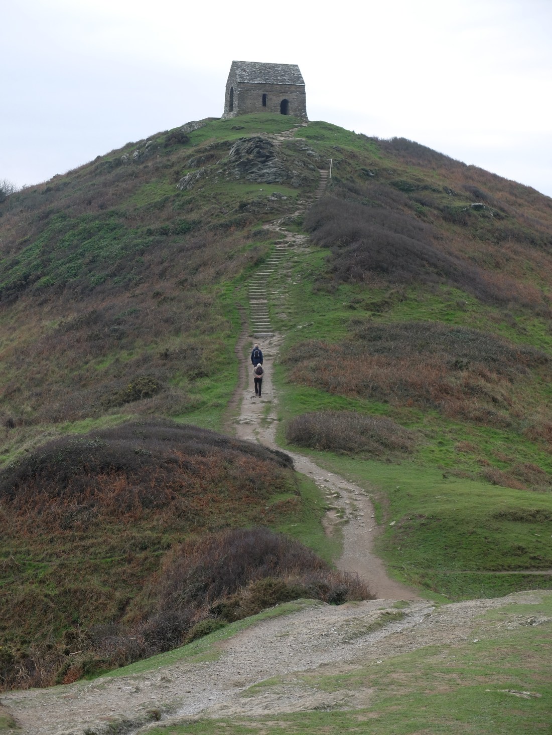
Rame head approached and there was then a Mamma Mia-like procession up to the chapel – albeit quieter and more modest. The chapel functioned as a look out and as a beacon point at the time of the Armada.
The north-west wind from which we had been sheltered all morning blasted us like a cold shower. Lunch was quick.

Now heading north we were in the teeth of the wind. Nevertheless Polhawn Cove looked glorious – it must be a delight in the summer.

In the long sweep of Whitsand Bay the cliff is low, green and sprinkled with lots of chalets in a random pattern. A nice place to be but the access is very steep and difficult. The residents must be very fit. There should be a niche market here for battery powered shopping buggies mounted on caterpillar tracks.

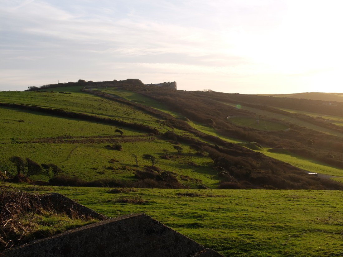
From here on we were on the military road and in mid-afternoon we rounded a bend to see Tregantle Fort, vast grey and forbidding. The overcast late afternoon late light conferred its gloomy aura.
We were back there the next morning with the sun lighting the grey stone: it looked better.

The Palmerston Forts were established as an outcome of the Royal Commission on the Defence of the United Kingdom in 1859-60. The Royal Commission was asked to assess how well current defences would withstand an invasion – to which the answer was not very well. In response a major fort building programme was initiated which included forts round Portsmouth, Plymouth, Falmouth, Chatham, Shoreham and other naval and civilian ports. No-one seems to have asked the prior question of how great the risk of invasion was in the first place. Palmerston was apparently alarmed by the changes in Europe and by France’s acquisition of a second Napoleon. The forts were later nicknamed ‘Palmerston’s Follies’ but with the benefit of hindsight.
By 9.30 we were on the golf course of the Whitsand Bay Hotel. There was no-one to be seen. Shortly afterwards we reached the delightfully named village of Portwrinkle which has a tiny harbour. This was a great smuggling centre in the 17th and 18th centuries, but the residents now look law abiding. The mild winter was encouraging plants on the front.


Back on the cliff we found sheep reminiscent of Holman Hunt’s ‘Our English Coasts’ but he didn’t include aerosol sprayed numbers.

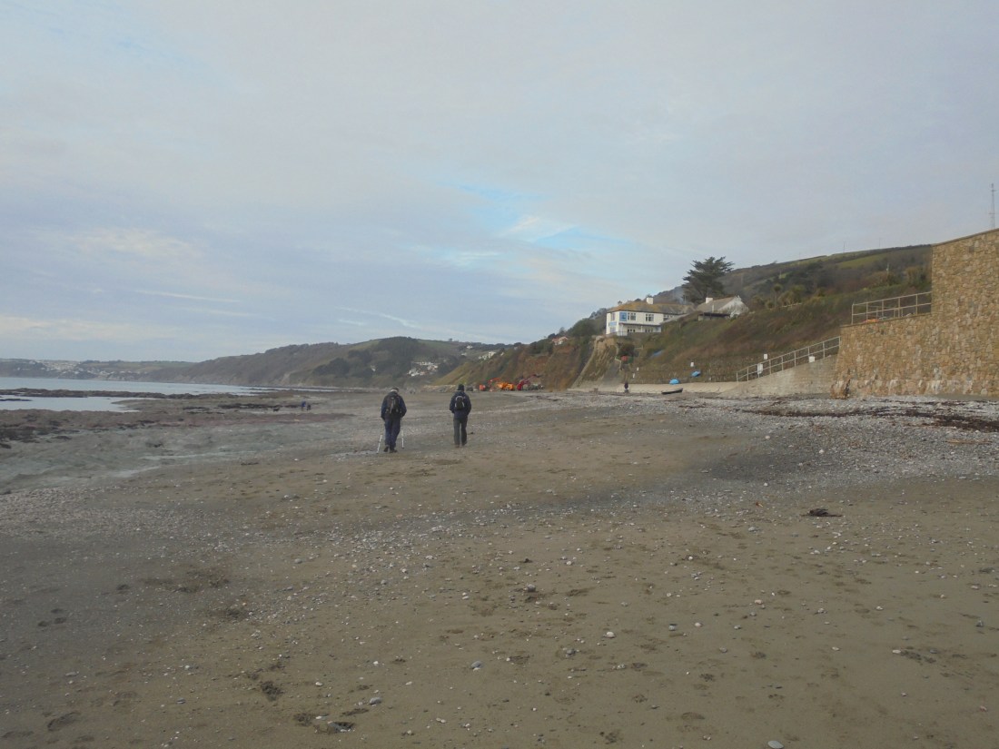
At Downderry the path drops down passing the primary school whose playground runs down to the beach. Lucky children. On the beach there were lots of locals with their dogs. Walking along we looked at lots of work being undertaken to halt the erosion of the cliff. It felt like a triumph of hope over reality.

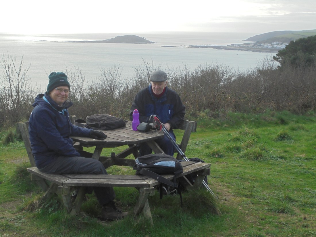
We had a steep climb out of Seaton up Looe Hill, a mix of steps and zig-zags, followed by a long road diversion as a result of a major cliff fall. We passed the Monkey Sanctuary which said firmly it was closed. Martin was nevertheless straining at the leash. We moved on to the most luxurious picnic bench so far at Bodigga Cliff.
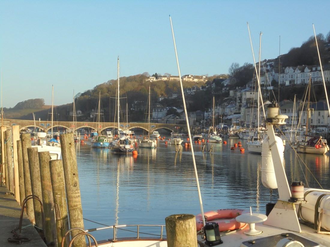
From there it wasn’t far to Looe. Coming down the East Cliff path into the town the narrow harbour entrance opens up with Looe or St George’s Island in the background. The town is a delight with a working harbour and active fishing fleet. It feels more alive than some of its Devon counterparts and we got the same feeling about the towns that followed. They are undoubtedly heavily dependent on the tourist trade, but they seem also to have a separate and proud identity.

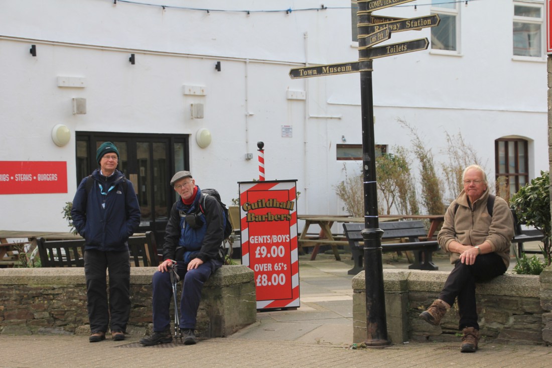
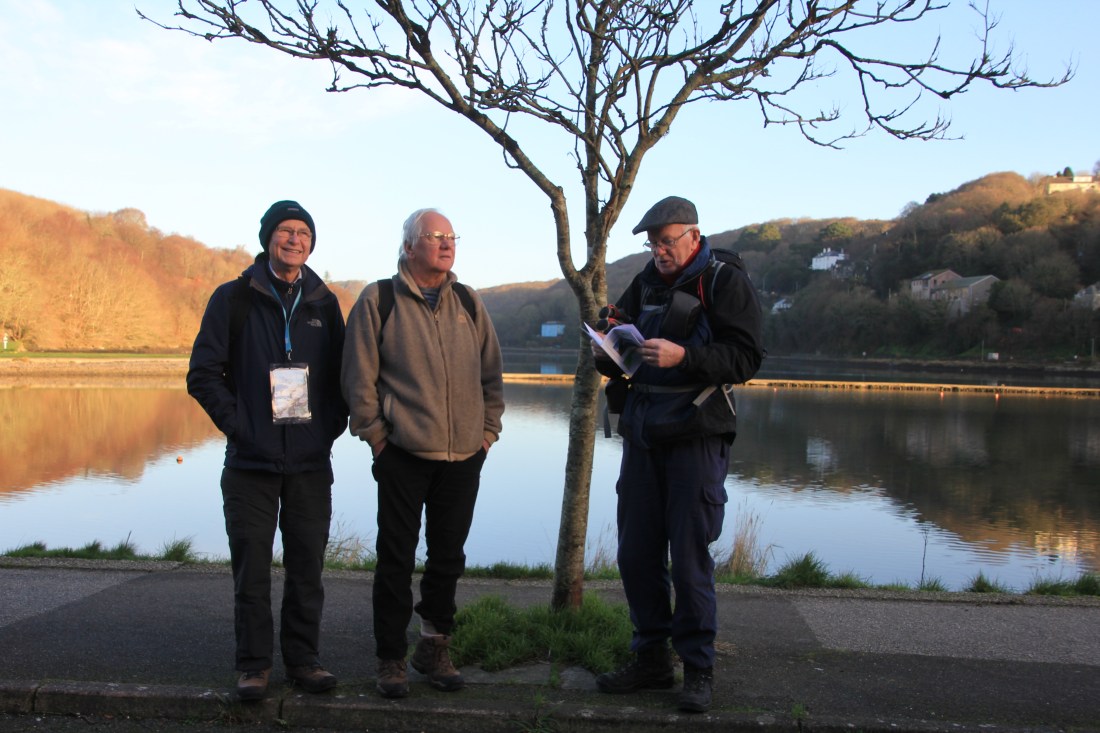
We walked up the main street of East Looe and met two lively women coming the other way. They were very cheerful, took photos of us and joined us for a drink in the Salutation. Then we walked back to the car and went back to Loswtithiel.


On our third day we declared a half day rather than having a day off in the week. It was a short walk from Looe to Polperro. We started in the huge car park in West Looe: it has just under 1000 places. It is hard to imagine the crowding in the town when the car park is full. In January it feels very relaxed!
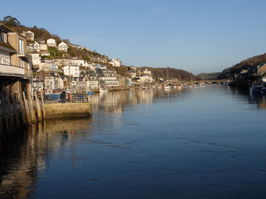
On this day we were again blessed with sun and Looe looked as glorious from the west side as the previous day.
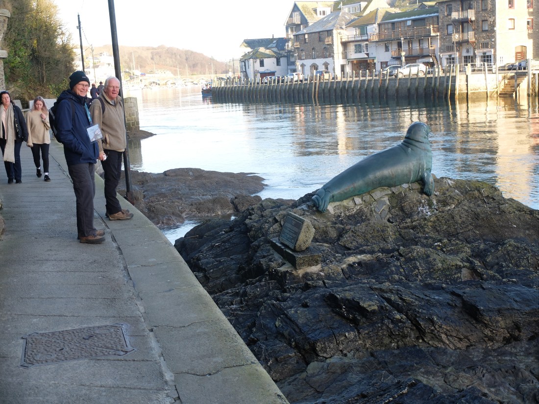
Further down the harbour is a bronze memorial to a one-eyed male seal named Nelson. He lived in the area for over ten years and was surprisingly tolerated by the local fishermen. Martin wanted to give him a hug but was dissuaded from doing so.
Leaving the town we passed a large group of walkers assembling and hoped we could stay clear of them. Fortunately it took them time to muster and we were two fields ahead when they left. We passed St George’s Island. The island is now a wildlife sanctuary, but in the past it has variously been a religious settlement and a convenient storage depot for smugglers. There is also a legend that Jesus visited the island with Joseph of Arimathea on a trading trip.

By mid morning we were coming down steeply into Talland Bay, another small smuggling village.
The climb out of the village was a long section of road necessitated by another cliff fall. It was very steep. Martin declared it the most unpleasant thing he had ever done. Has he had a very protected life or has he just got a very short memory? We’re not sure, but when challenged about this later he did remember some other unpleasant events.
Turning back towards the path we passed a recently sown ley of ryegrass and clover. It was bright green and growing as if it was April. This was characteristic of all the plants which seemed to think that spring had arrived.
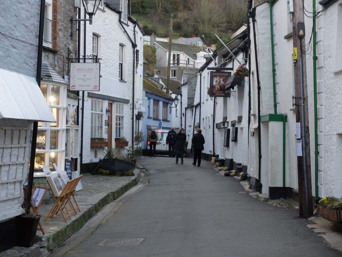
Half a mile later we saw the edge of Polperro which is perched on a steep and narrow valley.

Round the corner we could see the town and its compact harbour. The entrance is protected against storms by a heavy steel gate which closes like a lock. Beyond is the small and attractive town. The steepness of the valley means that the winter sun only gets to some of the houses. As in Looe the streets are not crowded in January.

We walked round the top of the harbour in search of a pub and lunch. Our first choice was The Three Piilchards but it was in the midst of a winter refurbishment with windows removed and large amounts of cabling pulled out; it looked as though the whole place had been gutted. This was characteristic of the whole walk. Everywhere builders, electricians and plumbers were busy refurbishing holiday cottages and second homes in preparation for the onslaught in the spring and summer. It seemed a well organised industry.

The landlord of The Three Pilchards pointed us round the corner. There we found the Blue Peter. It looked tiny, but inside it was a tardis. Anne had given up work for the day and arrived with Sally and Wendy and we all ate very well in the Blue Peter’s loft.

This was our easiest day with a five mile walk on a sunny day followed by a relaxed lunch. The next section from Polperro to Fowey was described in the guide as “one of the toughest sections on the South Cornwall coast”. Time to go home and prepare.