Our Portland weekend was the week after Easter. The holiday weekend had been a cold washout, but the next weekend the temperatures were thinking of increasing. More importantly the rain decided to take a break. But on the way down we saw lambs wrapped up in little blue jackets which said that spring had not properly arrived. When we had been considering whether Portland should be included in our journey we had both thought of the island as a grim and uninteresting place. We were completely wrong and were very grateful we walked round it.
We started at Bowleaze Cove at the Eastern end of the two and a half miles of beach running to Weymouth. Although Martin had exempted himself from the walk he kindly took us out to the start. This was adjacent to the grandly named Riviera Hotel which was a Pontins holiday camp until the late 1990s. The 1940s building is now a Grade 2 listed building in spite of looking like a Spanish caricature.
We went down to the beach alongside the River Jordan which also seems a bit out of character.

In contrast to all our recent walks we had a long flat section ahead.
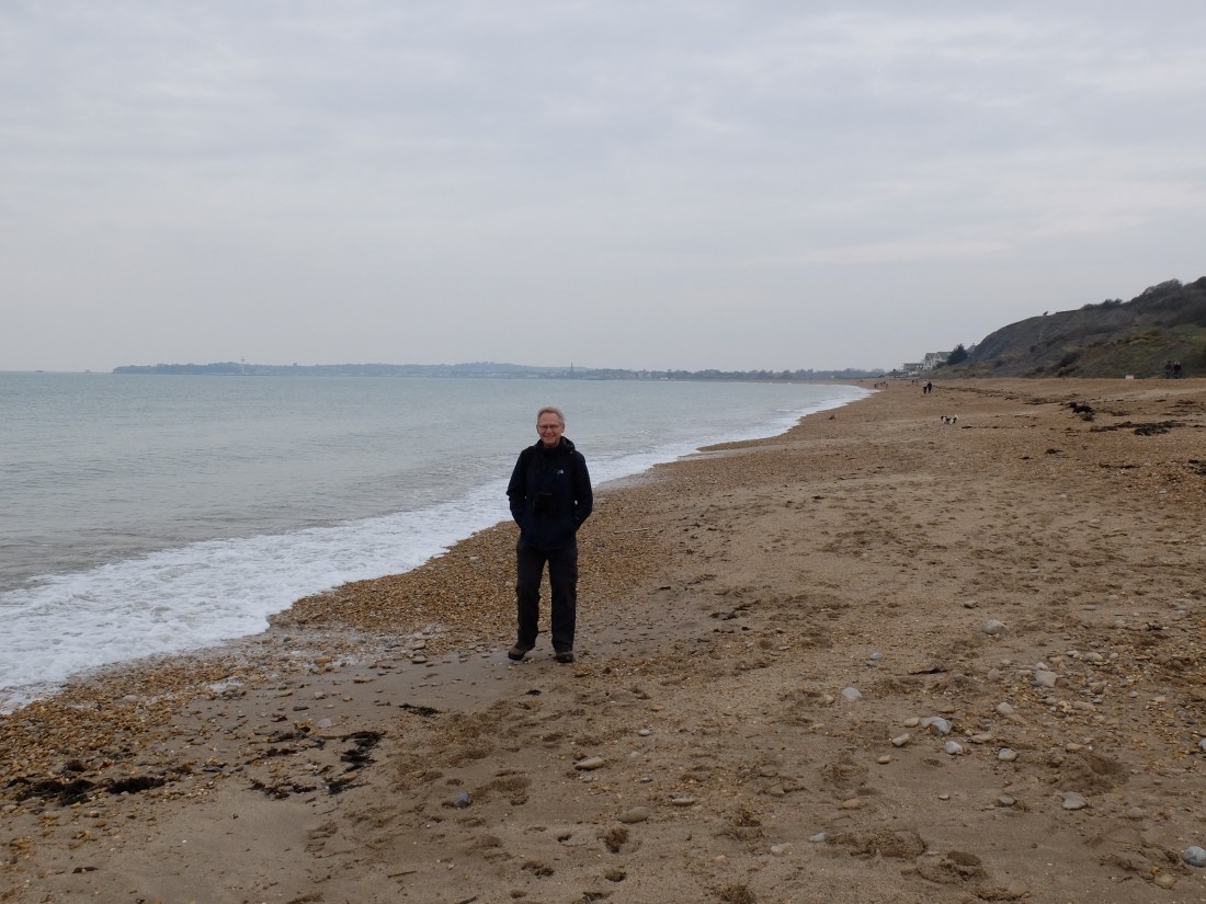
Walking on the beach was a new experience. The novelty of shingle wore off after twenty minutes and we moved up to the broad concrete path. By 11.00 we were getting towards the town and passing large late Victorian houses. The walkway was getting busier: lots of people, with parents carrying scooters and mobility scooters with dogs; perfect for both. And the sun was making an unusual appearance.

Half an hour later we were admiring the brightly painted statue of George III erected by the people of Weymouth to celebrate fifty years of his reign. A model bathing machine stands close by. It seems surprising that he came so far West, but the natural length of the beach and its protection from prevailing winds makes Weymouth an unusually kind beach.

From there we walked along the town side of the harbour towards the town bridge. Dugald reminisced endlessly about sailing here, the boats, the ferries of the past and the trains that used to run along the front to them. The rails remain to mark their passage, as do the rails for the commercial cranes on the quay.

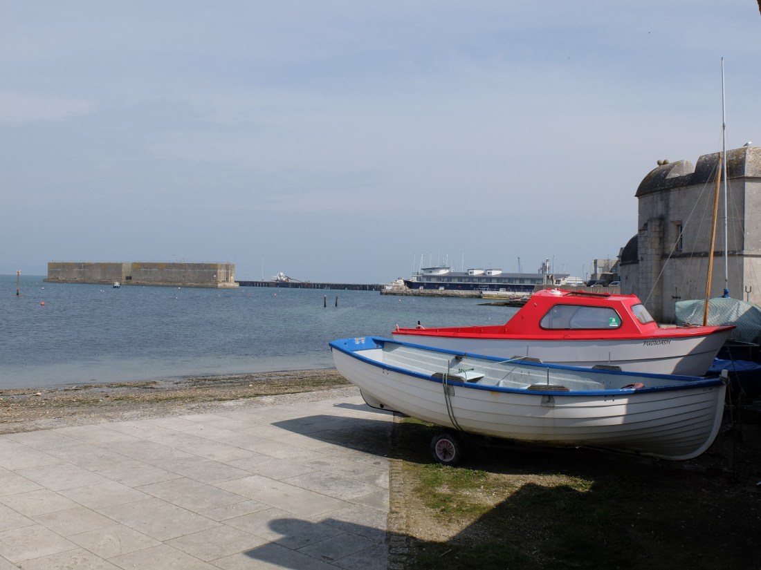
We got across the town bridge at 11.55, just beating the 12.00 opening, and walked down towards the Nothe, past more boats and the charming harbour side cottages. Then we were up on the Nothe itself, the site of a Palmerston fort that was active in the two world wars. This was the first of a series of fortifications that punctuate the coast from here around Portland. Very little is left of the huge naval presence that was here for over 150 years, but there was a reminder of maritime life as we left the Nothe.

As we went along the shore and towards the causeway to Portland we passed through verdant and affluent parts of Weymouth, which were a surprise. In the middle of Belle Vue Road were two new houses, one of them still unsold.

They were unusual in two respects: first the front elevation was a modern classic design while the seaward side was ultra modern; second there was an arch between the two with a fence running down through it which seemed an odd use of an arch. Nevertheless we were thinking of making an offer on the second house when we saw it was already under offer. Hopes dashed.
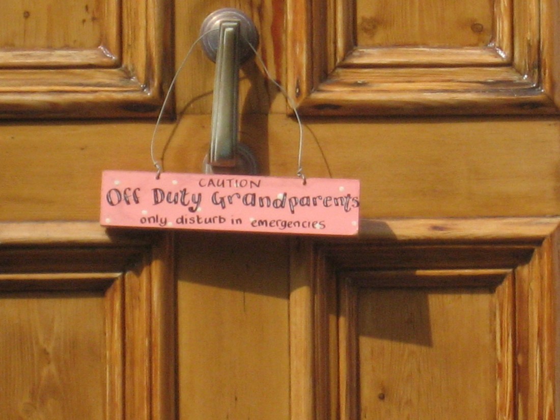
Turning left at the end of the road we entered a more normal area, and Richard spotted the clear manifesto of one pair of grandparents.
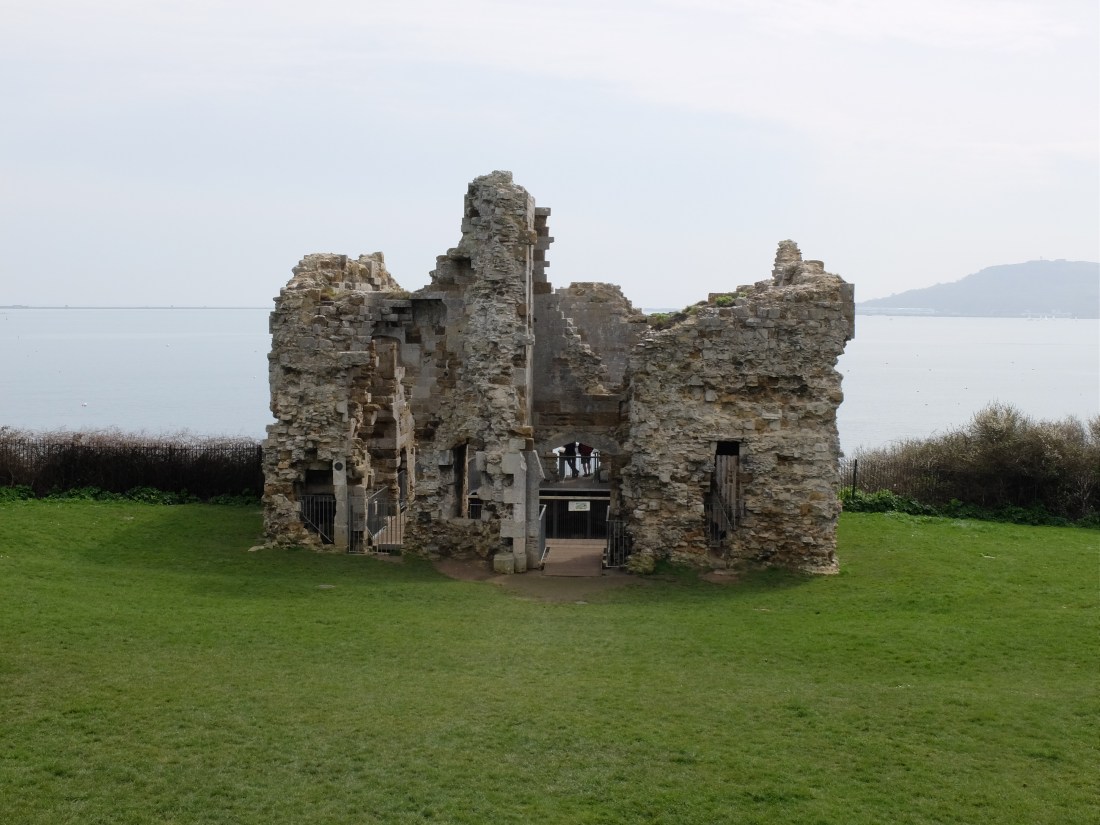
We soon arrived at Sandsfoot Castle, the remains of one of Henry VIII’s forts in the area. Stripped of its facing stone by locals building in later centuries it is a slightly forlorn remnant.
The last part of our walk on the mainland was along the old railway line from Weymouth to Portland now renamed the Rodwell Trail. Looking at the traffic jams that build up on the causeway to Portland, the train must have been a quick and pleasant way of making the journey.

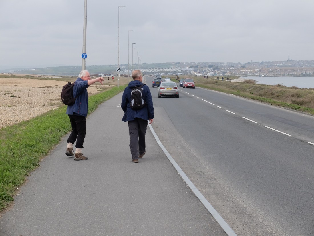
A quick lunch on a bench was followed by the long tramp along the causeway, but this was alleviated by Richard’s sighting of the first swallows and even a peregrine falcon without Martin’s help. In the harbour there was lots of activity on the water including windsurfers moving at high speed and apparently out of the water. Were they on hydrofoils we wondered? Later research suggested yes.
Towards the end of the marina we could see Henry VIII’s Portland Castle and two remaining sections of the D-Day Mulberry Harbour, solid, durable and 400 years of military change.
Out of the marina we were soon climbing up the Merchants’ Railway, a steep slope which used to be the route for bringing the stone from the quarries on top down to Castletown. Not sure the National Trust has got its apostrophe right.
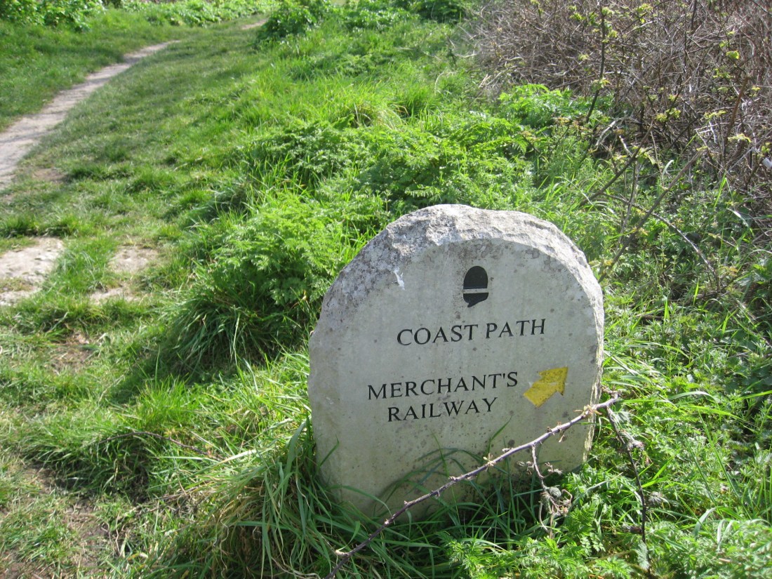
It was one way downhill – and not clear to us how the trolleys got back to the top again. It was a one and a half arrow slope with a constant gradient and stone sleepers making it easier.

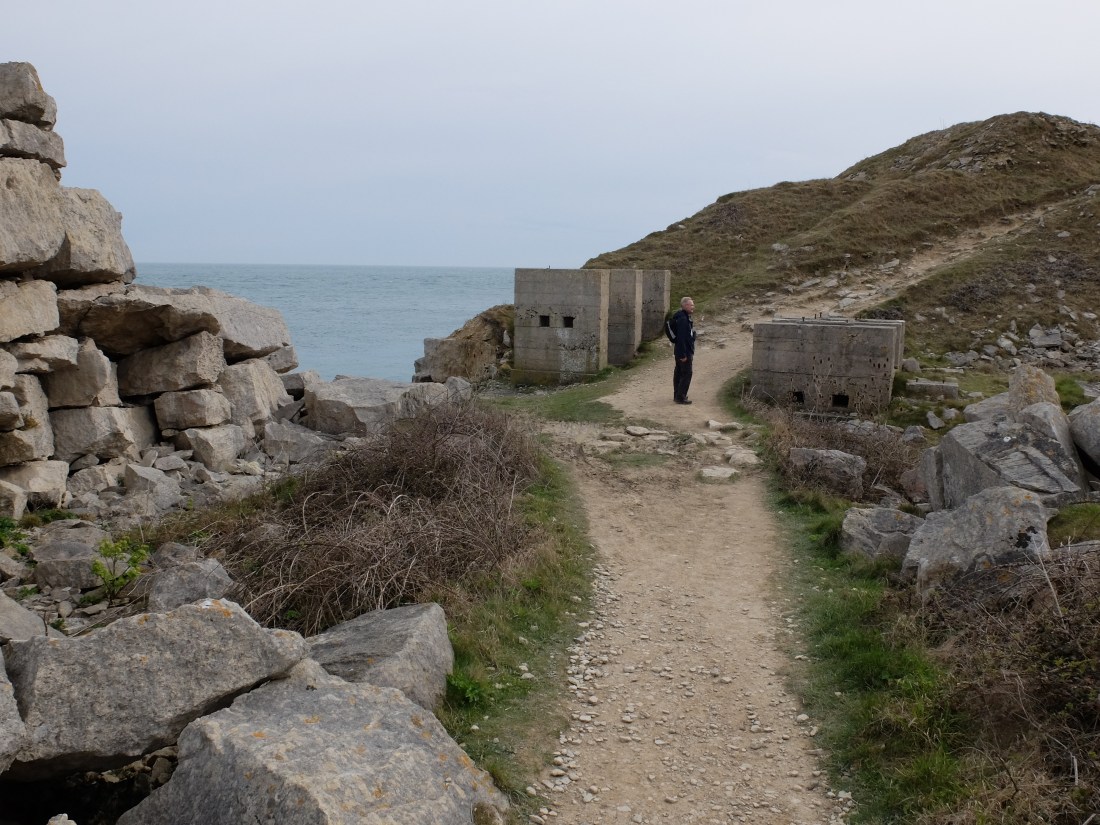
At the top the atmosphere changed dramatically: ahead of us was the grim and forbidding architecture of the Verne Prison, originally known as the Citadel; above and beyond it the High Angle Battery and the Redoubt; leading up to them a zig-zag road over a series of bridges that looked like something out the Game of Thrones.

By mid-afternoon we were on our way down the East coast through what Richard described as Dr Who country and then past the huge Youth Offender Institution – rough stony and very grey.
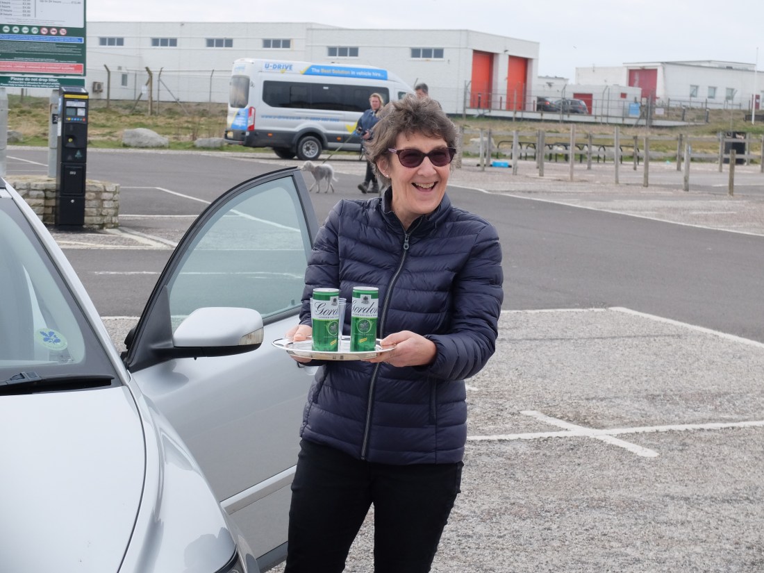
At half past three we spotted the lighthouse in the distance. It took the lighthouse some time to approach us, but just before five we were trudging towards the car park past rows of tightly locked wooden sheds. Then life suddenly took a turn for the better and our spirits soared: out of the car Sally produced a silver tray with two cans of gin and tonic. What an inspiration and what a great end to a twelve mile day.
On the Sunday the sun was again banished. Nevertheless Martin decided he was walking after all – perhaps he thought he would get a gin and tonic at the end of the day – wrong! We set off for a quick review of the lighthouse and the obelisk before starting up
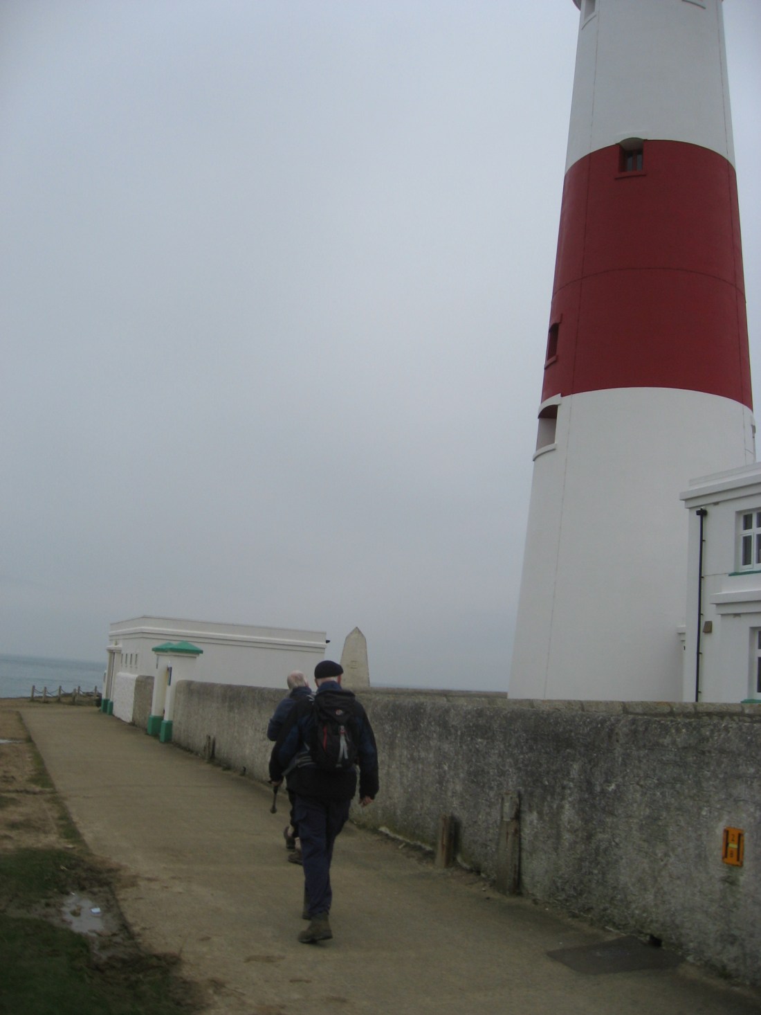
At the foot of the obelisk was a freshly laid wreath in memory of the crew of HMS Bittern which was lost with all hands on 4 April 1918. She was a destroyer involved in a collision with SS Kenilworth in thick fog off Portland: she sank very quickly.

The West coast path was a very pleasant contrast to the East: instead of sharp ankle twisting stone we had springy green turf and a gentle incline – good walking. The weather was overcast and cool –or fresh for the optimists. Ravens were around again with two vigilant males guarding their cliff top nests from a higher vantage points.

By midday we had reached Martin’s vertiginous stretch and we thought he had oversold it. True there was a long sheer drop, but we found it hard to see why a sheer drop of 400 feet was any worse than a nearly sheer drop of 250 feet onto some screed at the bottom. The net result would have been the same, so this seemed a distinction without a difference. But it also transpired that Martin has an odd vertigo on-off switch. If there is an interesting bird on the cliff face the switch is set to off. It’s only if there is no bird that the vertigo kicks in.
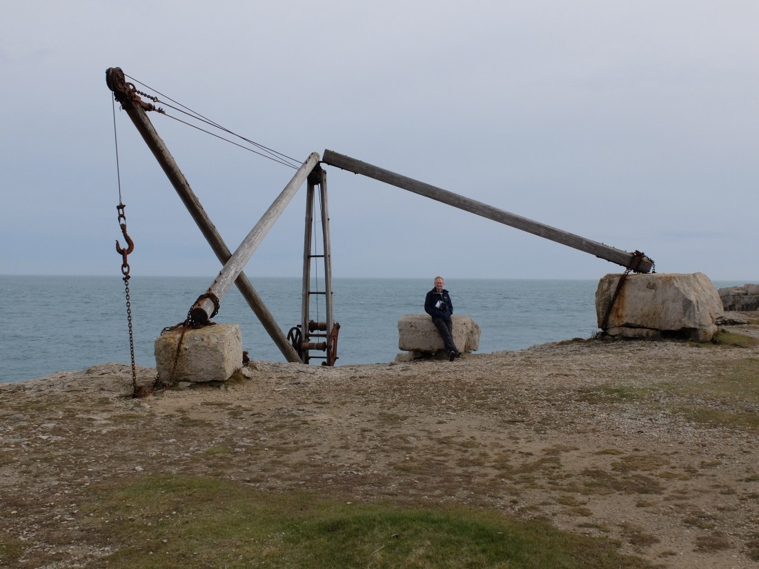
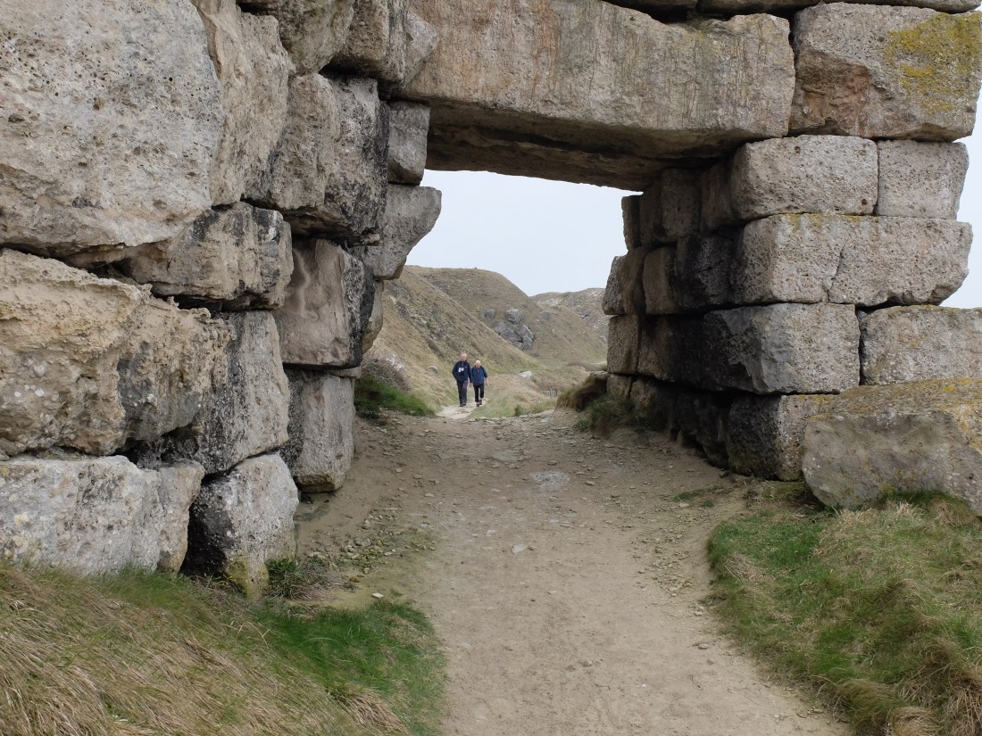
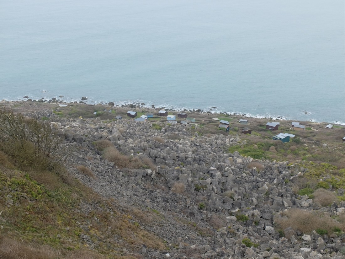
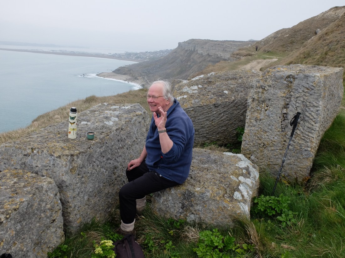
Beyond this point the quarry landscape became increasingly convoluted and lunar. When we got to Tout Quarry we at last understood some of the features we had passed. The tipping bridges were the means by which lower quality stone was jettisoned over the side of the cliff leaving the undercliff strewn with rejected stone. Our reconstruction is probably not how it was done.
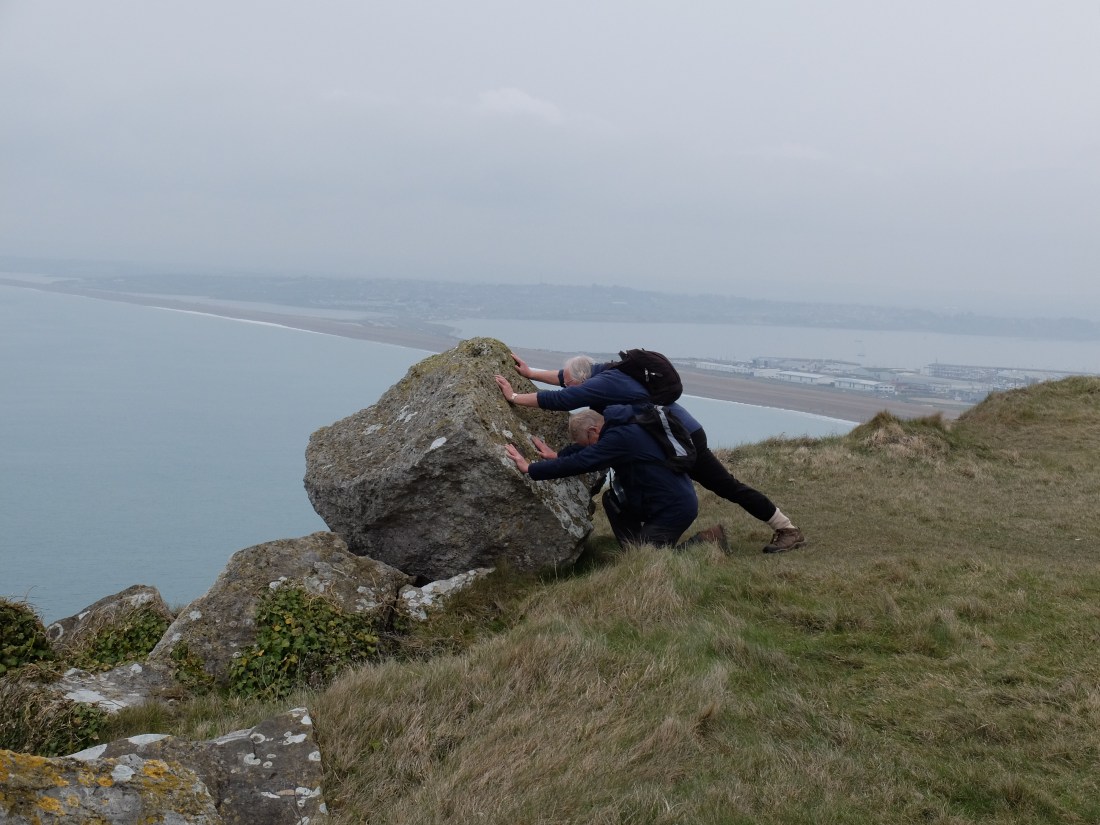
And it’s doubtful that they were able to settle down for a relaxed coffee either.
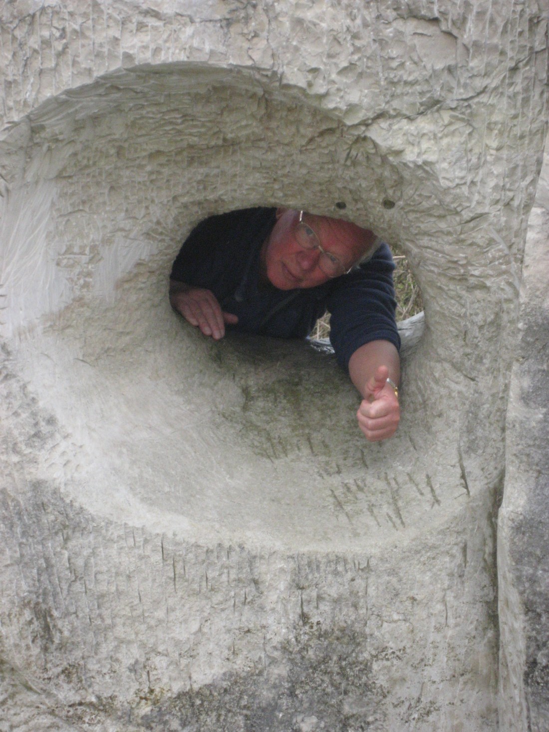
We passed through the edge of Tout Quarry and saw some of the varied sculptures that rest there.


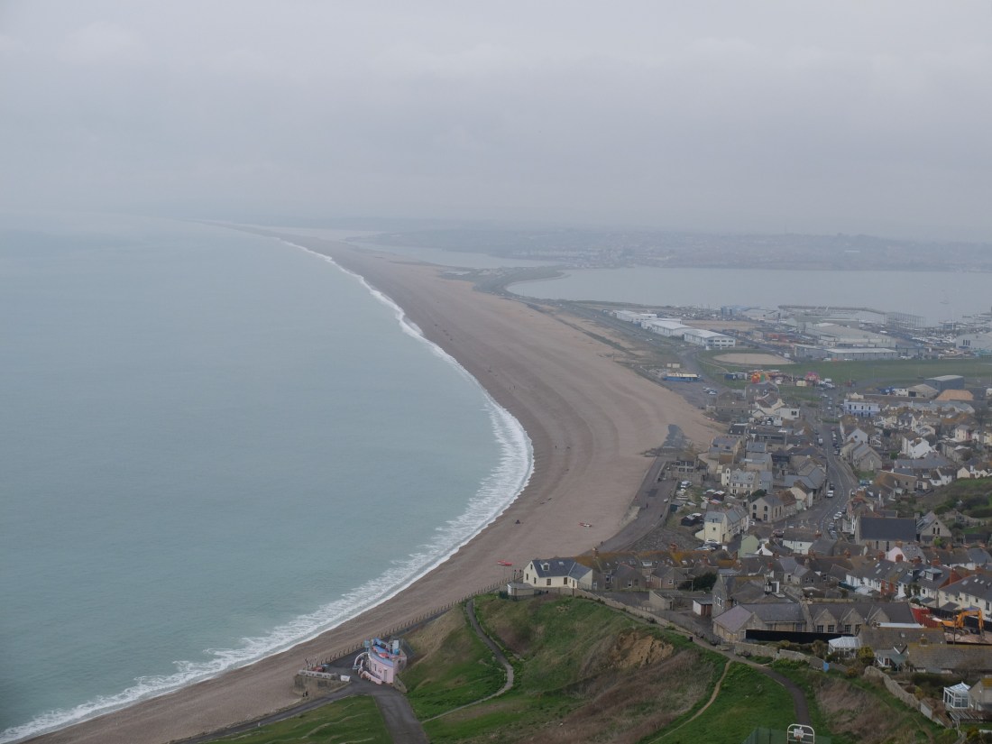
Soon after we were on the slope down to Chesil Beach and looking ahead to mainland Dorset again.
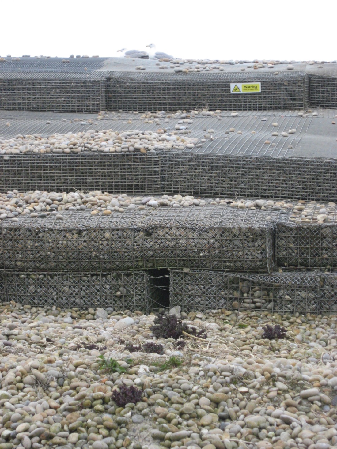
At the bottom we passed the Cove Inn and the point at which Chesil Beach was nearly breached in the storm of February 2014. The bank is now reinforced with gambions. It is not clear whether the nearby street name was adopted before or after this event.

Our second trip across the causeway was less interesting than the first, but does illustrate that some of the SW Coast Path is level.
By half past one we were getting to the end of the causeway and it was time for lunch on a comfortable bench thoughtfully provided by the Ferry Bridge sewage pumping station.
Then along the path on the Eastern side of the Fleet leaving walking on Chesil Beach for more heroic people. On our left were oyster beds. In the bushes by the path we met five linnets in a row, all of them quite relaxed about being close to us. Martin said he had never seen them so close.
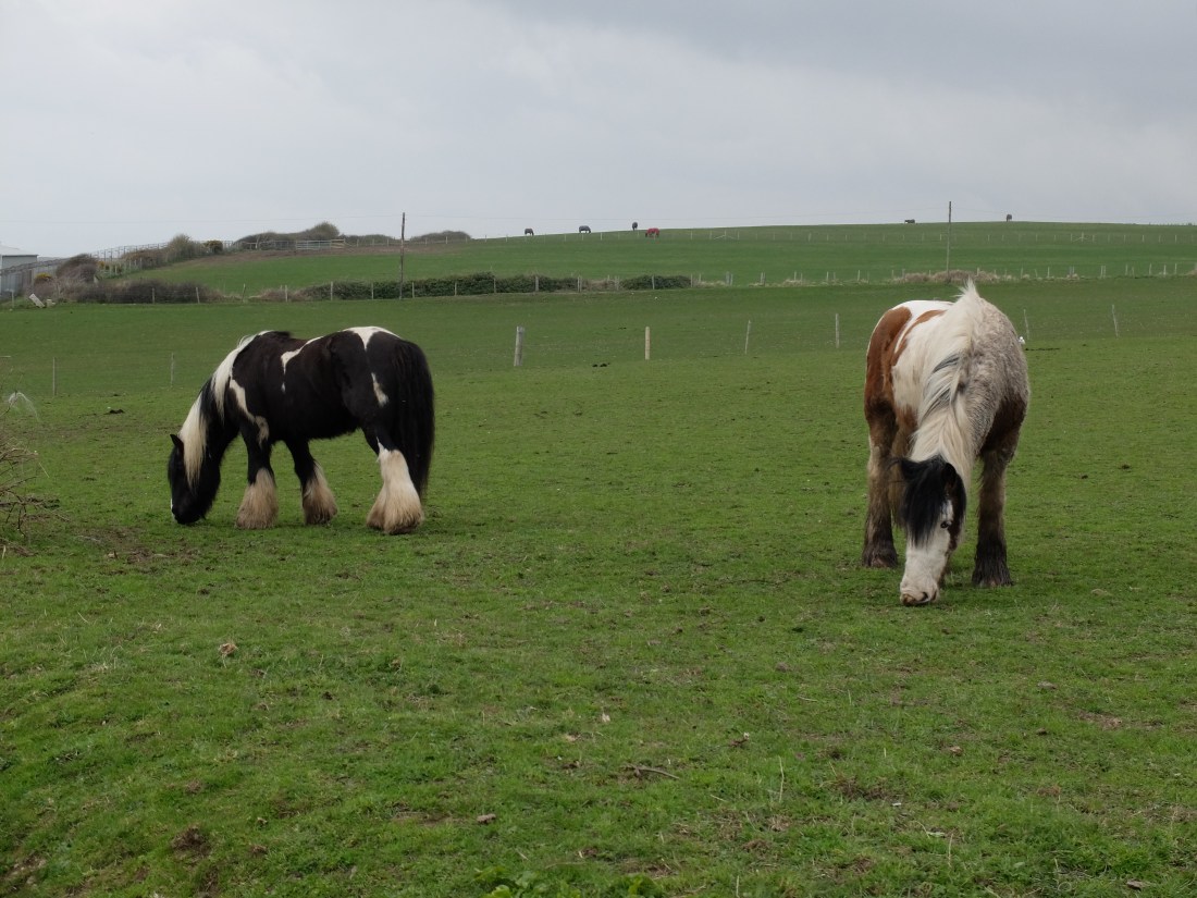
We skirted the Army bridging camp where the skills of building mobile bridges are imparted and came into a messy area of urban fringe fields populated as so often by feral horses.
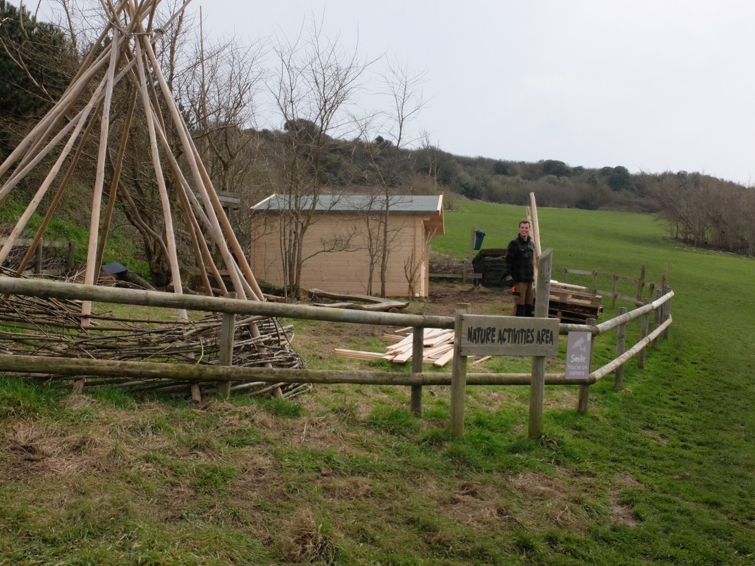
A bit further on we came across Alex who was spending Sunday afternoon putting up an outdoor recreation centre for local children. Alex was immensely cheerful and positive: his accent was not English and we all disagreed about whether it was Australian, New Zealand, Canadian or even American. A mystery, but perhaps Alex can tell us if he reads this.
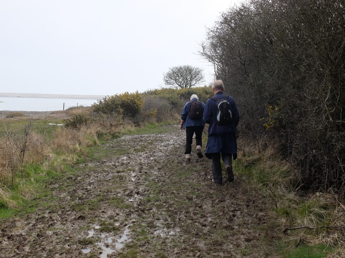
We got to the rifle range near Tidmoor Point just as the red flags were being taken down. This was a relief, but the path was not – muddy, wet and bad for morale at this stage of the day.
Just before we got to Moonfleet Manor we could see Sally in the distance, come to rescue us again.
We walked on to the car passing the hotel with lots of speculation and argument about whether the hotel was the location for Ian McEwan’s ‘On Chesil Beach’ or whether it was at West Bexington. Whichever it was the forthcoming film will be a searing experience.
Back at the car there was another surprise – not gin but three bottles of aptly named “Chesil” beer for three very tired walkers after another twelve miles. Sally came up trumps again (can we use the phrase any more?).

At the end of eight days of walking it is time to be brave and assess progress. To date we have done 63.3 miles, just under 8 miles a day; we seem to average just under 2 mph. According to the guide we are now 569 miles from Minehead. If we can accelerate to an average of 10 miles per day which seems feasible, it will take us 57 days, and at two days per month we would get there in September 2020.

Dugald you did not say you were coming to Weymouth , I’d have popped over to say hello. That semi detached house with the arch has been for sale for a while, but at an asking price of £1.75m in Weymouth, it’s not a surprise. Don’t ask about the price of the sheds near the Bill they are equally stupidly priced. Glad you enjoyed it, there is plenty to see in this little mad place.
LikeLike